


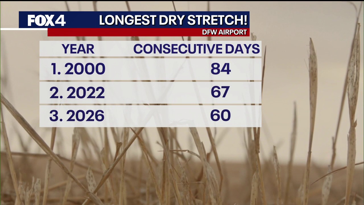
DFW Airport has reached 60 consecutive days without measurable rain as a persistent area of high pressure keeps Dallas-Fort Worth locked in searing heat and raises concerns over wildfires across North Texas.
The dry spell is among the three longest recorded for the region, with no significant rainfall expected in the immediate forecast. The lack of rain has left the area around 3.25in below its usual annual total.
The National Weather Service said the airport had already recorded its 59th successive rain-free day on Sunday, while the number of days this summer with temperatures reaching 100F (38C) or higher had climbed to 48 — the sixth-highest total on record. ([weather.gov](https://www.weather.gov/fwd/d?utm_source=openai))
Heat advisory remains in place
A heat advisory is in effect across the Dallas-Fort Worth metropolitan area and areas to the east, with the combination of high temperatures and humidity expected to push the heat index as high as 107F (42C).
Temperatures are forecast to reach about 101F (38C), just below the daily record, while southerly winds could gust to 20mph. Lower afternoon humidity and strong winds are also expected to keep the wildfire risk elevated west of Interstate 35 and in other parts of North Texas.
Forecasters expect the high-pressure ridge to shift slightly east later in the week, bringing more cloud cover and allowing temperatures to fall into the upper 90s. However, the National Weather Service said hot, dry conditions would continue, with little or no rain in prospect. ([weather.gov](https://www.weather.gov/fwd/d?utm_source=openai))
The prolonged heat and lack of rainfall have contributed to a rapid deterioration in drought conditions across North and Central Texas. The weather service said moderate drought had become widespread, with pockets of severe drought returning to parts of North Texas. ([weather.gov](https://www.weather.gov/fwd/drought?utm_source=openai))
