


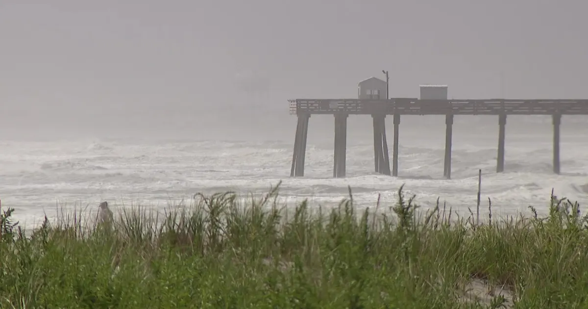
New Jersey and Delaware beaches are facing a prolonged coastal storm, with strong winds, dangerous surf and significant tidal flooding expected to worsen through the weekend.
The National Weather Service has extended a wind advisory covering the coastal areas until Friday evening and issued a high wind watch from Friday night through Saturday afternoon. Northerly winds of 30 to 40mph, with gusts of up to 60mph, are possible in exposed areas.
The system is being driven by low pressure developing off the East Coast. Forecasters expect it to move north towards the Mid-Atlantic and southern New England, with its closest approach late on Friday and into the weekend. It could develop into a nor’easter.
Coastal flooding and strong winds
Winds along the shore were already gusting to about 30mph, but are expected to strengthen. Gusts could reach 55mph along the coast by Sunday, while Lewes in Delaware could see gusts of up to 50mph on Saturday.
The National Weather Service warned that northeast winds of 25 to 35mph, with gusts reaching 45mph, could blow unsecured objects around, bring down tree limbs and cause isolated power cuts. The latest high wind watch allows for gusts of up to 60mph in parts of coastal New Jersey and Delaware.
Coastal flooding is expected to be one of the storm’s most serious impacts. One to two feet of water above ground level is forecast in low-lying areas near shorelines and tidal waterways, with moderate flooding beginning around high-tide cycles and continuing at least into Friday night.
Back-bay locations including Barnegat Bay, the Shrewsbury River and Indian River Bay are among the areas considered most vulnerable to tidal flooding. The Delaware River at Philadelphia is expected to experience minor flooding during high tides on Thursday, followed by moderate flooding on Friday and Saturday mornings.
A coastal flood warning is in effect for parts of the New Jersey and Delaware shoreline until early Saturday. The National Weather Service has also issued a high-surf advisory, with breaking waves of up to about nine feet possible in the surf zone, as well as a high risk of dangerous rip currents through Saturday evening.
Marine conditions are expected to become particularly hazardous. Forecasts for waters off the New Jersey coast include seas of up to 13 feet and northeast winds reaching 30 to 35 knots during the weekend.
Live views from the shore
Live cameras are available from Atlantic City, Cape May, Ocean City, Rehoboth Beach, Stone Harbor and Wildwood as the storm moves along the coast.
Residents and visitors in exposed or low-lying areas have been urged to secure outdoor items, take care near the water and allow extra time for travel, particularly in high-profile vehicles vulnerable to strong crosswinds.
