


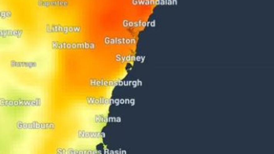
Sydney temperatures fell by more than 10C within half an hour on Monday as a sudden southerly ended an unseasonal spring heatwave that had pushed parts of the city above 35C.
Observatory Hill reached 28.9C at 9am, the highest spring reading there in 17 years. In Richmond, in Sydney’s west, the temperature dropped from 35.4C to 25.3C shortly after midday.
Closer to the coast, Sydney Airport recorded a fall from 31.6C to 21.9C in 30 minutes at about 10.10am.
Dean Narramore, a Bureau of Meteorology meteorologist, said a large high-pressure system over south-eastern Australia was bringing warm, dry and sunny conditions across most of the country.
Coastal showers were expected from Sydney to the Gold Coast on Tuesday, while warmer conditions in the low 30s and showers were forecast for mid and northern New South Wales. The rain was expected to clear in the evening.
Southern New South Wales was forecast to be cooler, with Sydney reaching 19C and Canberra 16C on Tuesday. Victoria was expected to have a cool, frosty start before clearing to a dry and sunny day, with temperatures ranging from the high teens to 20C.
Showers could affect southern Tasmania in the morning, while South Australia was expected to remain dry and sunny. Western Australia’s coastline was forecast to be dry and partly cloudy, with temperatures reaching the high 30s in northern parts of the Pilbara.
