


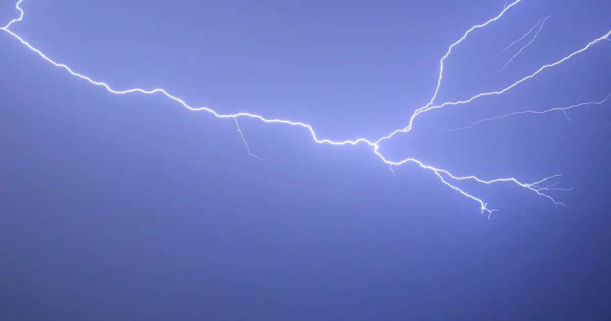
Heavy rain and thunderstorms moved across the Chicago area on Thursday morning, disrupting flights at O’Hare and Midway airports before conditions were expected to become drier later in the day.
The National Weather Service warned that some storms could produce torrential downpours and localised flooding across northern Illinois and north-western Indiana. Showers and thunderstorms were forecast to ease from late morning into the afternoon, with temperatures reaching about 23C.
Ground stops were issued at O’Hare and Midway because of the thunderstorms, with restrictions initially scheduled to remain in place until 7.15am and 6.45am respectively. The Federal Aviation Administration later reported arrival delays and airborne holding of up to 30 minutes at both airports. ([fox32chicago.com](https://www.fox32chicago.com/weather/heavy-rain-storms-chicagoland))
Chicago weather forecast
Thursday was expected to remain mostly cloudy after the rain moved through. The unsettled pattern is likely to return on Friday night, with storms forecast to continue into Saturday and highs approaching 27C.
Sunday is expected to begin with a chance of rain, followed by further showers overnight and into early Monday. Temperatures should fall to the mid-teens Celsius overnight, with Monday remaining cloudy and reaching about 18C to 19C.
More settled conditions are forecast for the middle of next week, with mostly cloudy skies on Tuesday and brighter weather developing by Wednesday.
