


A late-week nor’easter is expected to bring the first widespread snow of the season to parts of the north-eastern United States, while Washington DC, Philadelphia and New York City are more likely to see rain, strong winds and a sharp drop in temperatures.
The storm is expected to develop from Thursday, November 12, into Friday, November 13, as low pressure moves towards the East Coast and strengthens near the Atlantic. The exact track remains uncertain, but forecasters say the major I-95 cities are likely to remain too warm for significant snow.
Rain likely for Philadelphia and New York
National Weather Service forecasters expect widespread rain across the Philadelphia and New York areas late on Thursday and into Friday, with gusty winds as the system moves offshore. The Philadelphia forecast gives a 70 per cent chance of rain on Thursday and Friday, while New York forecasters say rain will be the dominant precipitation type.
There is a risk of heavier rain in some areas, particularly towards Long Island and southern Connecticut. The National Weather Service has warned that minor flooding could develop if the heaviest bands persist, although the overall flash-flood threat remains limited because the ground has been relatively dry. ([beta.weather.gov](https://beta.weather.gov/tools/afd/okx/4db55f56-e4aa-42a6-88db-6cb1c3a2c95b/?utm_source=openai))
Temperatures near the coast and along the I-95 corridor are not expected to fall enough for snow to settle. A brief change from rain to wet snow is possible on the storm’s western or northern edge, but any flakes in New York City, Philadelphia or Washington DC are unlikely to cause significant disruption.
In the New York region, the best chance of seeing wet snow is in higher ground well inland, particularly parts of the Lower Hudson Valley. Forecasters have described the likelihood of even a dusting in those locations as low, with any impacts expected to be negligible. ([weather.gov](https://www.weather.gov/zny/afd?utm_source=openai))
Snow most likely in higher ground
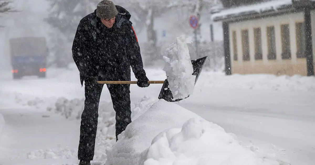
The greatest chance of accumulating snow is farther north and west, where colder air and higher elevations will allow rain to turn to snow. Northern New York, Vermont, New Hampshire and Maine are expected to see the most significant snowfall, while parts of the Appalachians and central Pennsylvania could also receive measurable amounts.
The Poconos, the Catskills and higher parts of upstate New York are among the areas being watched for an early-season snow event. Snowfall totals have not yet been fixed, with forecasters waiting for the storm’s path and strength to become clearer.
The National Weather Service’s Weather Prediction Center said the developing system could produce a cold rain along the coast and snow inland as the upper-level trough deepens across the eastern states. ([forecast.weather.gov](https://forecast.weather.gov/product.php?format=txt&glossary=1&issuedby=EPD&product=PRE&site=MHX&version=1&utm_source=openai))
Regardless of whether snow reaches the cities, the storm is expected to draw much colder Canadian air into the eastern US as it departs on Saturday. Afternoon temperatures across the north-east could struggle to rise beyond the 30s and 40s Fahrenheit, while overnight lows fall into the 20s.
Forecasters say the storm’s track will determine the balance between rain, wind and snow, and warned that the outlook could still change before the system arrives later this week.
