


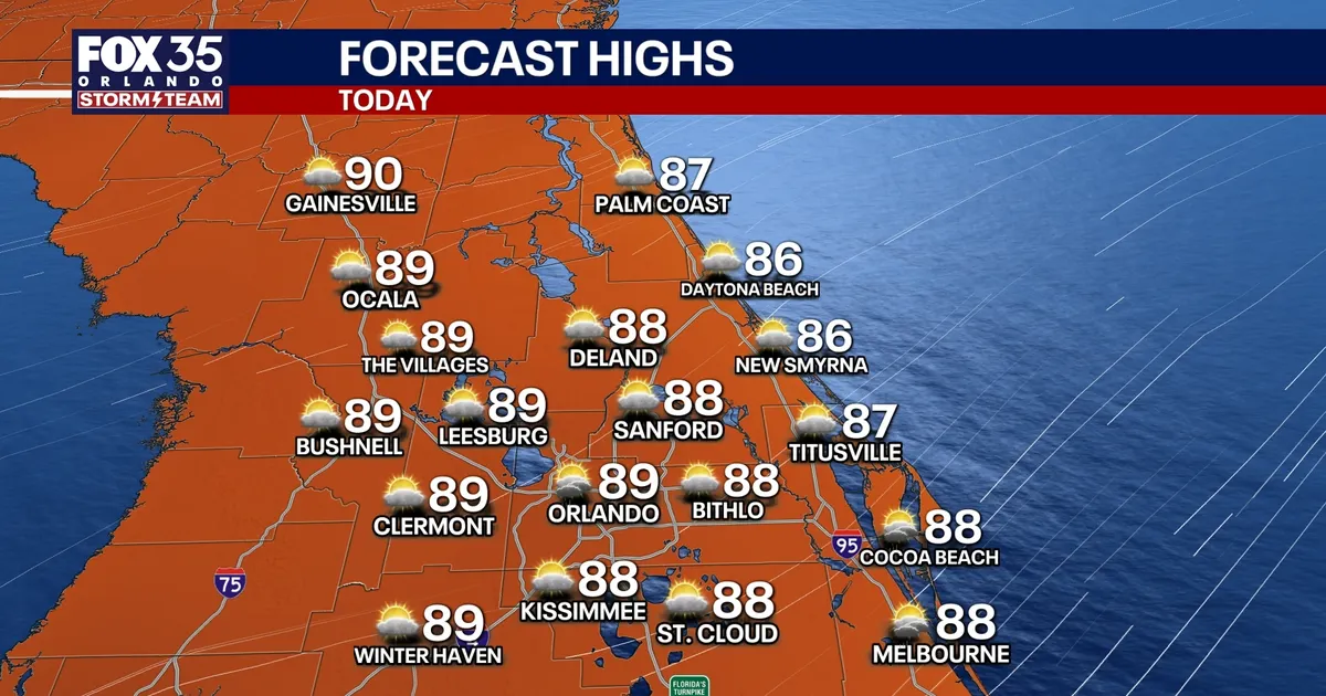
Central Florida will see a brief spell of drier weather on Thursday before showers and thunderstorms become more widespread from Friday into the weekend, with forecasters warning of rough seas and dangerous rip currents along the coast.
A pocket of drier air moving into the region is expected to keep rain chances at 20% or below, particularly north and west of Orlando. However, a strong north-easterly breeze from the Atlantic will still carry isolated showers inland.
Winds are forecast to reach 15–25mph during the afternoon, while temperatures climb into the mid to upper 80s. Overnight lows will remain in the 70s, with humidity continuing to make conditions feel warmer.
Storms set to build across Central Florida
Conditions are expected to turn more unsettled from Friday as an upper-level low moves across Florida from east to west, drawing deeper tropical moisture into the area and increasing atmospheric instability.
Scattered to numerous showers and thunderstorms are forecast each day from Friday through Sunday. The storms could develop earlier than the typical afternoon sea-breeze activity, bringing frequent lightning, small hail and gusts of 40–50mph in the strongest cells.
Forecasters are also warning of localised downpours of 1–3in and minor flooding, particularly where repeated bands of rain pass over already saturated urban areas. Highs should remain seasonable, in the upper 80s.
The unsettled pattern is expected to continue into early next week, with afternoon and evening storms likely from Monday through Wednesday as moisture is drawn north from the Caribbean.
Along the Atlantic coast, persistent onshore winds are producing rough surf and a high risk of life-threatening rip currents. The National Weather Service has extended the warning through late Thursday night for beaches in Volusia, Brevard, Indian River, St Lucie and Martin counties.
Surf heights could reach around five feet in parts of the area, while northeast winds of 15–20mph are expected near the beaches. Entering the surf is strongly discouraged, and boaters have also been warned that offshore seas will remain hazardous before gradually improving later on Thursday and overnight.
Meanwhile, the National Hurricane Center said a small area of low pressure several hundred miles east of Bermuda had become slightly better organised. The system, designated AL98, has a 40% chance of developing over the next 48 hours and over the next seven days.
It is expected to move slowly west before possibly turning south on Friday. Forecasters said there was no immediate threat to Florida.
