


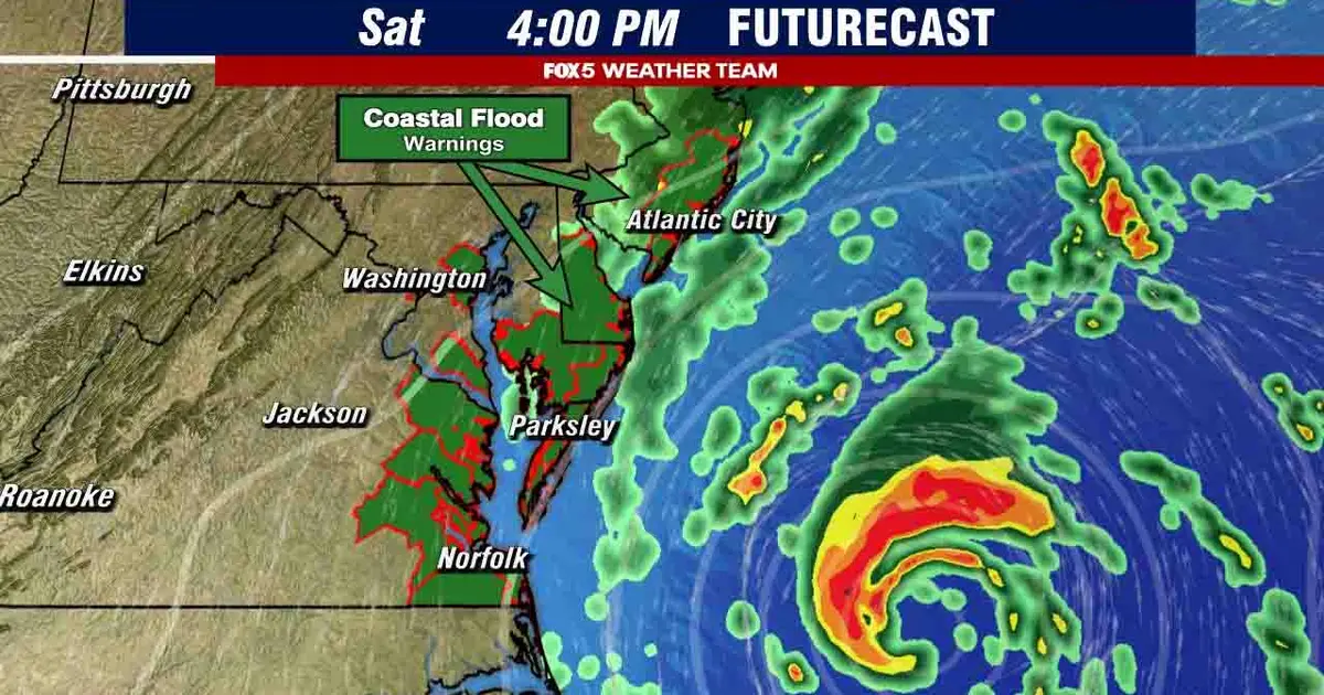
Washington DC is set for a cloudy and breezy Thursday, with temperatures reaching about 66F (19C) as a developing nor’easter brings a risk of tidal flooding to the region.
The National Weather Service has issued a Coastal Flood Advisory for the District of Columbia from 5am on Thursday until 9am on Friday, warning that low-lying areas along the shoreline could be affected, particularly around high tide.
Forecasters expect tides to run between two and two-and-a-half feet above normal, with up to half a foot of water covering some vulnerable areas. The next high tides at Washington Channel are due at approximately 7.04am and 7.27pm.
The Southwest Waterfront near the DC Seafood Market is expected to flood, while water could reach parts of Hains Point Loop Road. Low-lying sections near Fletcher’s Boathouse and parts of Roosevelt Island may also be affected.
Residents and visitors have been warned that some roads could be closed and advised not to drive around barriers or through water of unknown depth. Northeast winds of 11 to 13mph are forecast, with gusts of up to 22mph.
Conditions are expected to improve on Friday, when skies should turn sunny and temperatures rise to around 72F. The National Weather Service said the wider coastal storm could also bring stronger winds, heavy rain and more serious flooding elsewhere along the Mid-Atlantic and New England coasts.
