


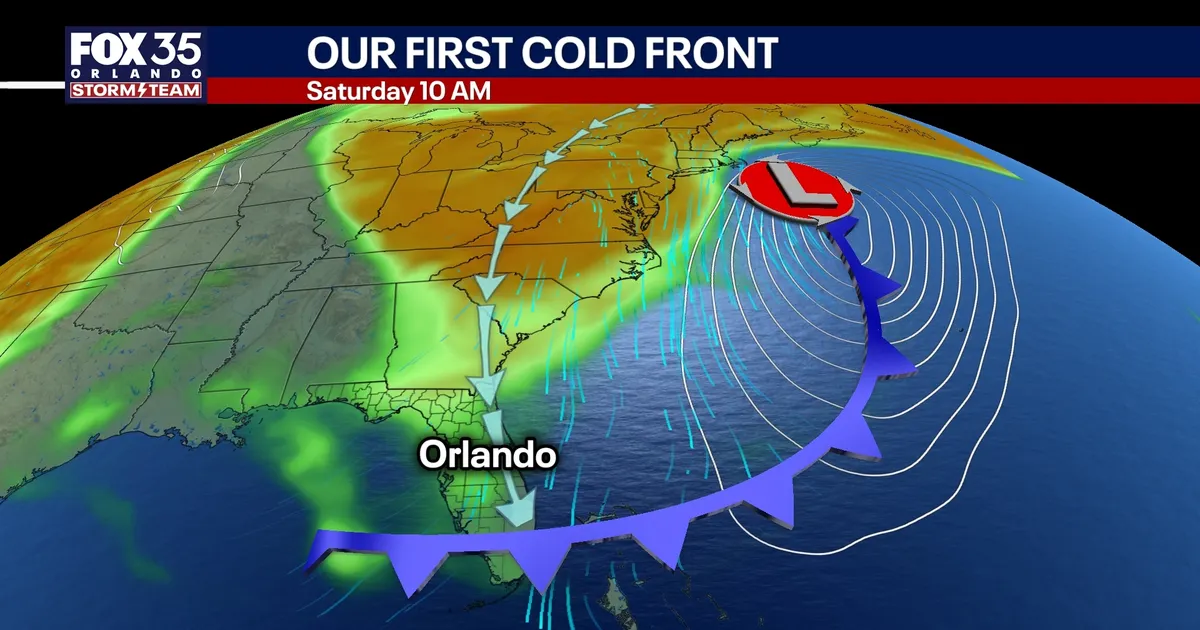
Central Florida is set for a sharp change in conditions as a cold front moves through Orlando on Thursday, September 24, bringing gusty winds, scattered storms and a cooler, drier weekend.
Before the front arrives, Wednesday will remain hot and humid, with temperatures approaching 90F and a 50% chance of showers and thunderstorms. The National Weather Service forecast shows the greatest risk of rain from around midday through the afternoon, although isolated downpours could develop during the morning.
Most of the storms are expected to weaken after sunset, but conditions will become more unsettled again on Thursday as the front crosses the region. Forecasters expect a 40% chance of scattered showers and thunderstorms, with the highest likelihood close to midday and during the early afternoon.
Cold front to bring gusty winds and dangerous surf
Winds will strengthen as the system moves through, particularly near the Florida coastline. Gusts could reach 30 to 35mph inland and exceed 35mph at exposed beaches.
The stronger winds are expected to produce rough surf, large breaking waves and an increased risk of dangerous rip currents. Beachgoers are being urged to take extra care and follow local safety advice.
Drier air will begin filtering into the Orlando area on Thursday night, bringing a noticeable break from the humidity. The National Weather Service’s latest outlook also indicates that rain chances will ease after the front passes.
Friday and the weekend are expected to be mostly sunny and dry, with afternoon temperatures in the mid-80s. Overnight conditions will be notably cooler, with lows falling into the low and middle 60s on Saturday and Sunday mornings.
The National Hurricane Centre is also monitoring a tropical wave emerging from the west coast of Africa. It has a 20% chance of developing over the next 48 hours and a 40% chance over seven days, but forecasters say strong wind shear should limit its progress and that it poses no threat to Florida or the United States.
