


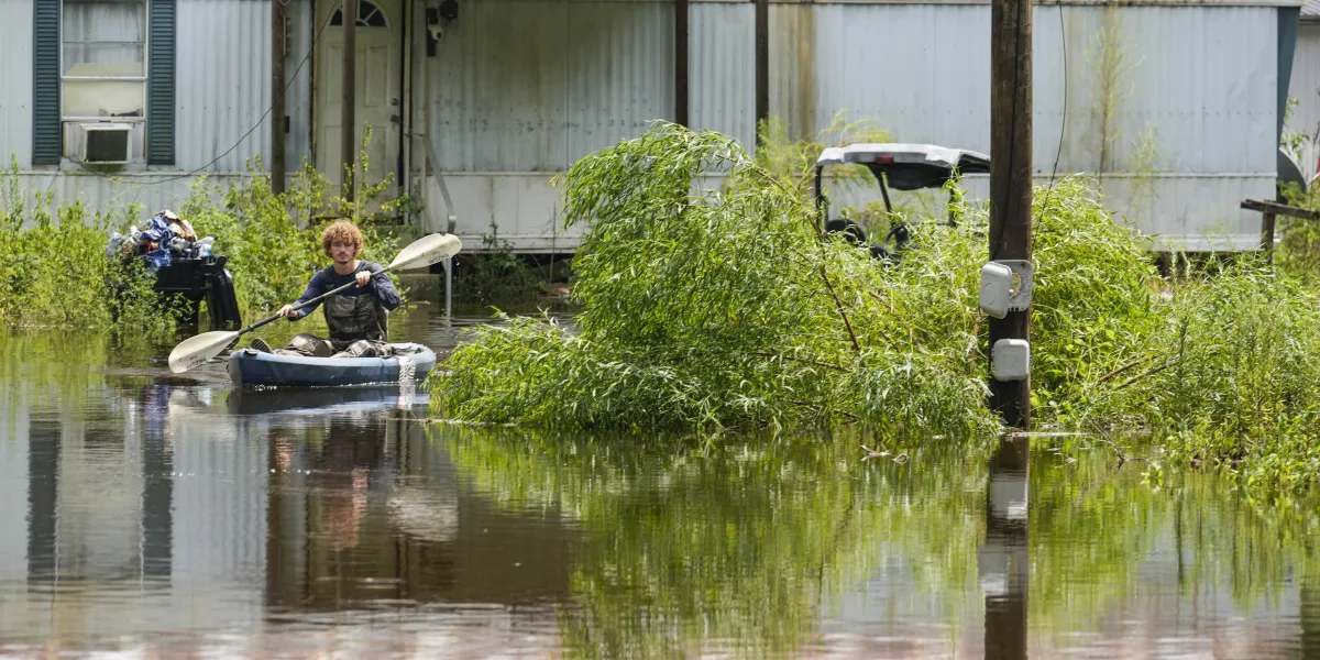
About six million homes may face flood risk beyond that shown on official US federal maps, researchers have warned, with a study of nearly one million properties in Houston finding that vulnerability can vary sharply between houses on the same street.
The estimate suggests 14.6 million properties may be exposed to flooding in total. Federal Emergency Management Agency (FEMA) maps are often out of date, with some having not been revised for two decades, and generally use historical data rather than projections of future risk.
But updating the boundaries would not, on its own, show how severely an individual home could be affected, according to the researchers. FEMA’s flood maps indicate whether water is likely to reach a neighbourhood, but do not assess the likely depth at a particular property, the condition of the building or the ability of residents to recover.
Flood risk can differ between neighbouring homes
The research, published in the journal Applied Geography, examined homes across Houston using a more detailed measure of vulnerability. The work was carried out by Yilei Yu of Rice University, Dylan Connor of Arizona State University and James R. Elliott of Rice University, alongside Aaron Flores and Sara Meerow.
Researchers assessed four factors: the likely depth of floodwater, the age and condition of the building, the effect on movement around the area and the financial consequences of damage.
Flood depth was estimated for each property during a so-called 100-year flood, an event with a one per cent chance of occurring in any given year. Building age and construction quality were drawn from county appraisal records, while traffic levels on nearby roads were used to assess how flooding might disrupt journeys and hinder emergency access.
The researchers also considered likely repair costs and the proportion of nearby homes covered by flood insurance. Most standard homeowners’ insurance policies do not cover flood damage, they noted.
The result was a picture of substantial variation within neighbourhoods. Vulnerability scores often differed more between individual homes in the same area than between one neighbourhood and another.
A newer, well-maintained and insured property could therefore face a very different recovery from an older, poorly maintained and uninsured home elsewhere on the same road. A house positioned where water reaches greater depths would also be more exposed, even if both properties shared the same official flood-zone designation.
Homes outside official flood boundaries
Previous research by the team found that more than half of 100,000 documented flood-prone buildings in Houston were outside official flood boundaries. Those overlooked properties were more likely to be in poor condition and uninsured, leaving them particularly vulnerable when flooding occurred.
The researchers said neighbourhood averages could conceal the homes most in need of help. Address-level information could assist residents in deciding how to protect their properties and help local authorities direct limited funding towards flood-proofing, drainage improvements and recovery support.
Homeowners can investigate their exposure by asking long-term neighbours or local flood officials whether a property or street has flooded before. They can also check the age of the building, arrange an inspection, consider whether nearby routes are prone to flooding and review the extent of any flood insurance cover.
The researchers said data of the kind used in Houston exists across much of the United States, allowing other flood-prone cities to identify risks that may be missed by maps based only on neighbourhoods or postcodes.
