


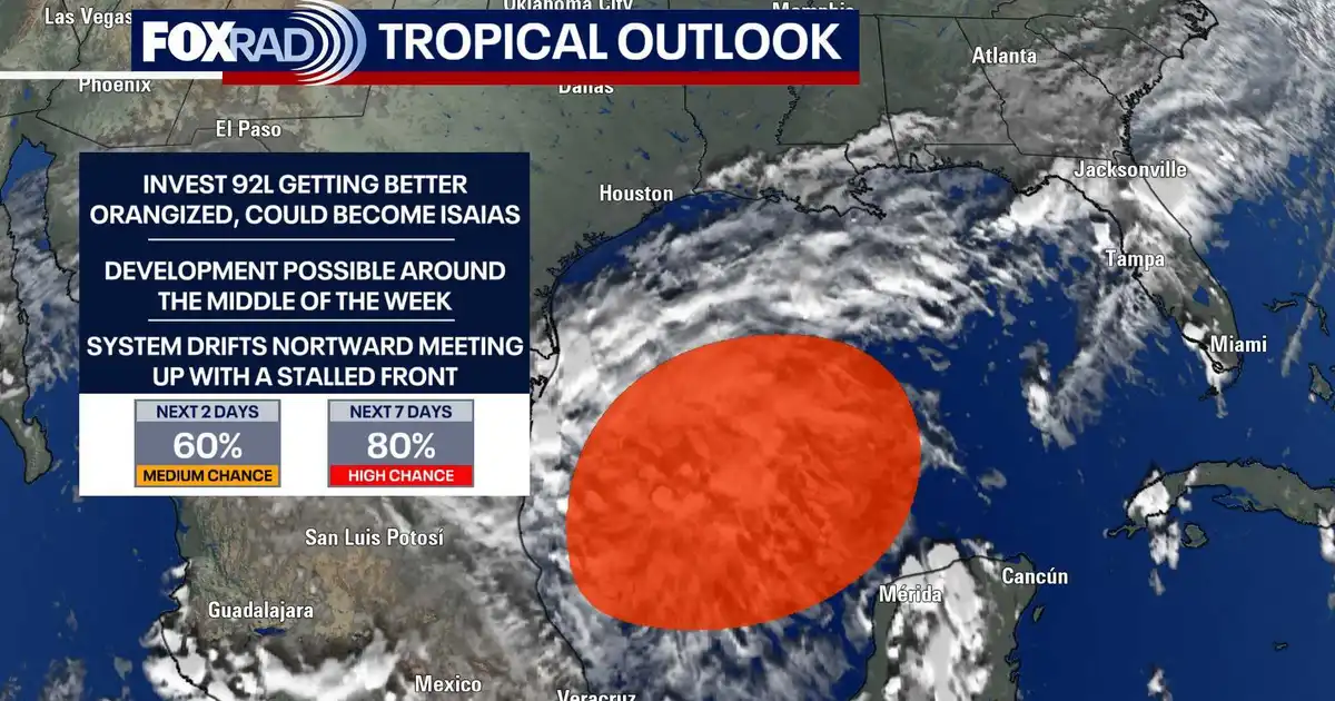
Houston faces a largely dry and settled week, while forecasters monitor a developing disturbance in the south-western Gulf of Mexico that could become a tropical depression later this week.
The system, designated Invest 92L by the National Hurricane Center, has a 60 per cent chance of developing into a tropical system within 48 hours and an 80 per cent chance over the next seven days.
It is expected to drift generally north or north-east. Current forecasts suggest Louisiana, Florida and other parts of the northern Gulf Coast are more likely to experience the system’s effects than Texas, although the track and strength remain uncertain.
Invest 92L could bring heavy rain to Gulf Coast
Forecasters say a more defined area of low pressure could form on Thursday or Friday. Even if the disturbance does not become a named tropical system, moisture associated with it could produce several inches of rain along parts of the northern Gulf Coast later in the week.
There is also the potential for flooding and strong wind gusts in affected areas. Forecast models remain unsettled, however, and it is too early to determine the precise path or severity of any impacts.
For Houston, the immediate outlook is considerably quieter. Areas that received more than six inches of rain last week are expected to see only isolated showers, with the best chance south of Interstate 10 and closer to the coast.
Drier air moving in behind a front should bring warm afternoons and morning temperatures in the upper 60s to low 70s Fahrenheit. Skies are expected to remain mostly sunny through Wednesday before humidity begins to rise again.
Residents along the Gulf Coast are being advised to monitor updates as Invest 92L develops, while no significant direct threat to Houston has been identified at this stage.
