


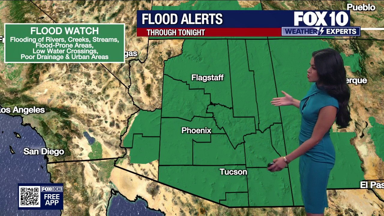
Monsoon storms brought heavy rain and cooler temperatures to Phoenix on Wednesday, with a flood watch covering large parts of central and southern Arizona until 11pm local time.
The National Weather Service warned of a continuing risk of flash flooding across the Phoenix metropolitan area, Tucson, the surrounding mountain ranges and communities including Scottsdale, Mesa, Tempe, Glendale, Marana and Green Valley.
Forecasters said showers and thunderstorms were expected to produce locally heavy rainfall, with rainfall totals of between three-quarters of an inch and 1in possible in parts of the Phoenix area.
The warning also extended across several desert and mountain regions, including Pinal, Pima, Maricopa, Gila, Cochise, Graham and Greenlee counties. Areas near washes, low-lying roads and steep terrain were considered particularly vulnerable to flooding.
The unsettled conditions were expected to keep temperatures well below typical levels for Phoenix, where the daytime high was forecast to remain around 85F (29C).
Showers and thunderstorms were expected to ease later on Wednesday evening, although a further 30 per cent chance of storms remained in the forecast before 8pm. The National Weather Service forecast a return to partly sunny conditions on Thursday, with temperatures rising to about 93F (34C).
The flood watch followed a series of flash flood warnings issued during the day for parts of Pima, Maricopa, Pinal, Gila and Coconino counties as storms moved across Arizona.
