


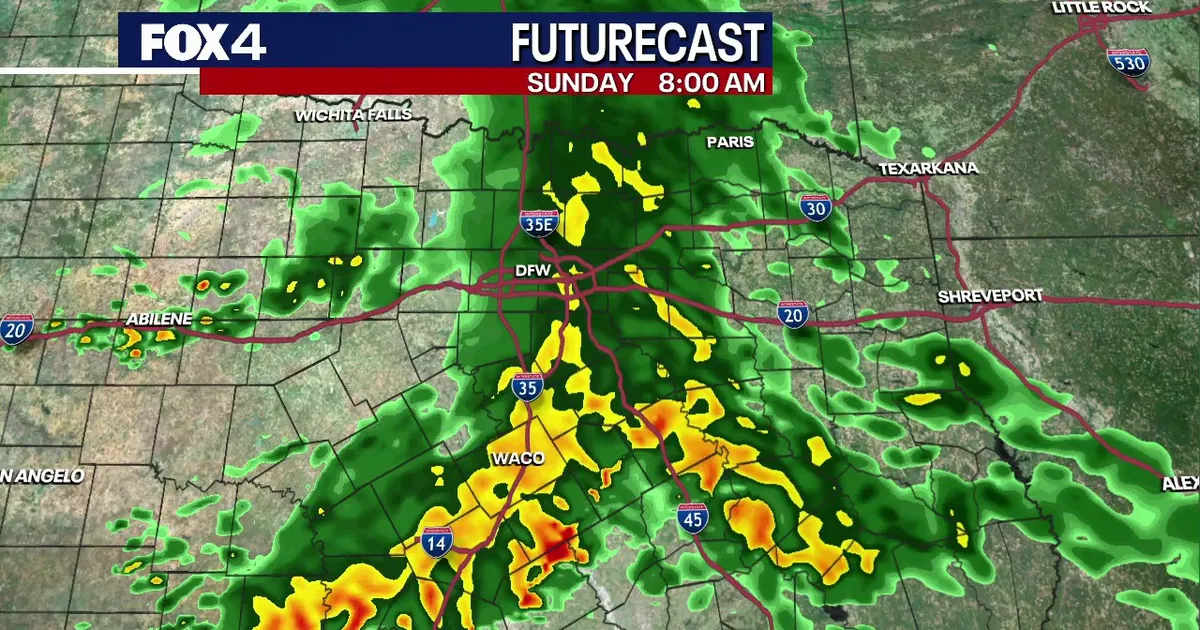
Cold, steady rain swept across North Texas on Sunday, offering welcome relief to drought-hit areas around Dallas and Fort Worth while keeping severe storms at bay.
A low-pressure system crossing Texas brought a 90% chance of rain to the Dallas-Fort Worth area through the middle of the day. With little atmospheric instability, forecasters expected persistent rainfall rather than widespread thunder and lightning.
Temperatures remained in the mid to upper 40s Fahrenheit during the morning, including 47F at Dallas-Fort Worth International Airport and 46F in Fort Worth. A brisk northerly wind was expected to add to the chill, with afternoon temperatures reaching only about 50F across the metroplex.
Dallas-Fort Worth weather forecast
Communities farther west, including Breckenridge, Eastland and Mineral Wells, were expected to see the cloud break earlier and reach the low to mid-50s. Areas to the east were likely to stay cooler beneath lingering cloud cover.
Rainfall was forecast to ease to about 30% on Sunday night as the main system moved east. Moisture circulating around the departing system could still produce isolated light showers into Monday morning.
Drivers were advised to allow extra time for the Monday commute, with wet conditions potentially leaving roads slick in places.
The weather is expected to turn drier and gradually warmer during the working week. Monday should bring partial sunshine and a high near 57F, although a 10% chance of a lingering morning shower remains.
Partly cloudy skies and temperatures near 63F are forecast for Tuesday, with highs returning to the 60s and 70s by the end of the week. A 20% chance of further rain is expected from Wednesday night into Thursday.
