


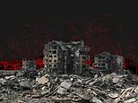
Satellite imagery is being used to examine the scale of destruction in Gaza, with a visual feature documenting the devastation across the territory.
The material presents the damage through satellite images, offering an overview of the destruction in Gaza.
