


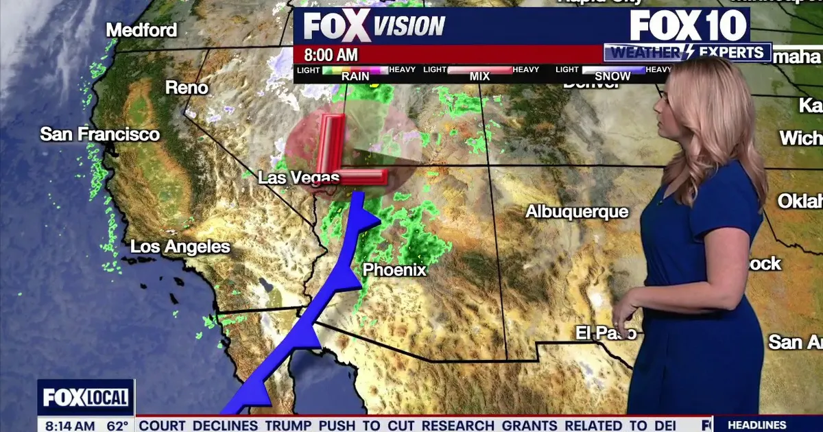
Rain is moving across Phoenix and central Arizona on Tuesday, with showers expected to ease from the middle of the day as cooler air and strong winds move in behind a cold front.
Showers began in Phoenix at about 5am and are expected to continue in spells through the morning. Rain will then shift further east around midday, allowing the city to turn drier as clouds break and sunshine returns.
Across the rest of Arizona, wet weather will continue spreading from west to east through the afternoon and early evening. The final showers are expected to clear eastern parts of the state by Tuesday night, although isolated thunderstorms could develop as the cold front passes.
Wind speeds are also forecast to increase. A wind advisory remains in effect for northern and eastern Arizona through Tuesday night, with gusts of 40 to 50mph possible over higher ground. Phoenix could see gusts of between 20 and 30mph through the early afternoon.
Temperatures in Phoenix are expected to reach 71F on Tuesday before edging up to 72F on Wednesday.
Further showers expected later in the week
Sunny conditions are forecast to return on Thursday, when temperatures could climb into the mid-70s. Another storm system passing north of Arizona from Thursday evening into Friday morning may bring renewed showers to northern areas, along with the possibility of snow at higher elevations.
Winds are expected to strengthen again towards the end of the working week as that system moves through.
The weekend is likely to be dry and comfortable, with highs in Phoenix falling back to the low 70s on both Saturday and Sunday. A further system could approach the state next Monday, bringing another chance of showers and high-elevation snow.
Drivers are advised not to attempt to cross flooded roads and to turn around if water blocks their route. Anyone caught in a vehicle as floodwater rises should leave quickly and move to higher ground.
