


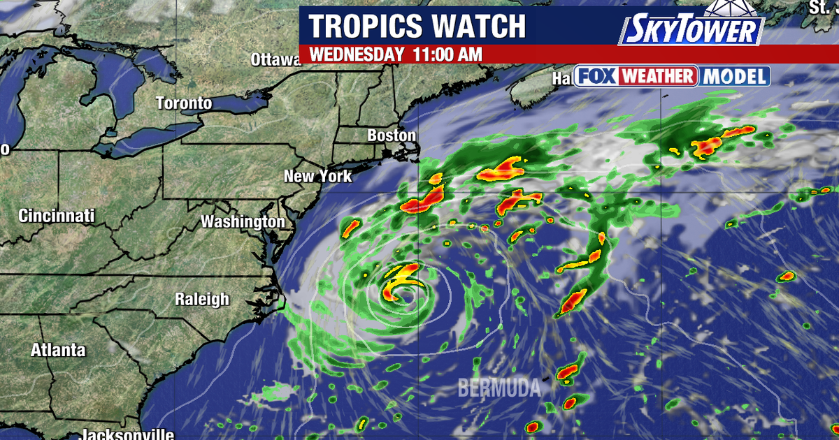
Forecasters are tracking a non-tropical area of low pressure off the south-eastern US coast that could develop into a subtropical storm later this week, with high winds, coastal flooding and dangerous surf expected along parts of the East Coast.
The system has a 40% chance of becoming a tropical or subtropical cyclone over the next seven days, although the National Hurricane Center says the likelihood of formation over the next 48 hours is close to zero. It is expected to move slowly and erratically before turning north-east, away from the mainland. ([prod-west-nhc.woc.noaa.gov](https://prod-west-nhc.woc.noaa.gov/mobile/text/refresh/MIATWOAT%2Bhtml/281736_MIATWOAT.html?utm_source=openai))
Tropical development off the US Southeast coast
The disturbance is positioned along a frontal boundary several hundred miles offshore and is expected to remain over the warm waters of the Gulf Stream. If nearby fronts weaken, the low could gradually develop a subtropical circulation and potentially become Subtropical Storm Josephine.
Regardless of whether it becomes a named storm, forecasters warn that the system will generate hazardous conditions along portions of the US East Coast. Gusty winds, high surf, severe beach erosion and coastal flooding are possible for beachgoers and coastal communities. ([prod-west-nhc.woc.noaa.gov](https://prod-west-nhc.woc.noaa.gov/mobile/text/refresh/MIATWOAT%2Bhtml/281736_MIATWOAT.html?utm_source=openai))
The National Hurricane Center said the system could acquire subtropical characteristics in the middle or latter part of the week, before environmental conditions become less favourable for development by the weekend. No Atlantic tropical cyclones were active as of Monday, 19 October. ([nhc.noaa.gov](https://www.nhc.noaa.gov/?dti=2438376561&fref=gc&utm_source=openai))
The low is expected to pass well clear of Tampa Bay, leaving the region unaffected by the developing system. Local forecasts for Tampa on Monday called for mainly sunny and breezy conditions, with a high of 81F.
Weather officials have not yet established whether the frontal system will fully break down or when the low might develop a defined subtropical core. Residents and visitors along the East Coast are being advised to monitor updates from the National Weather Service and local authorities as the system shifts north-eastwards. ([prod-west-nhc.woc.noaa.gov](https://prod-west-nhc.woc.noaa.gov/mobile/text/refresh/MIATWOAT%2Bhtml/281736_MIATWOAT.html?utm_source=openai))
