


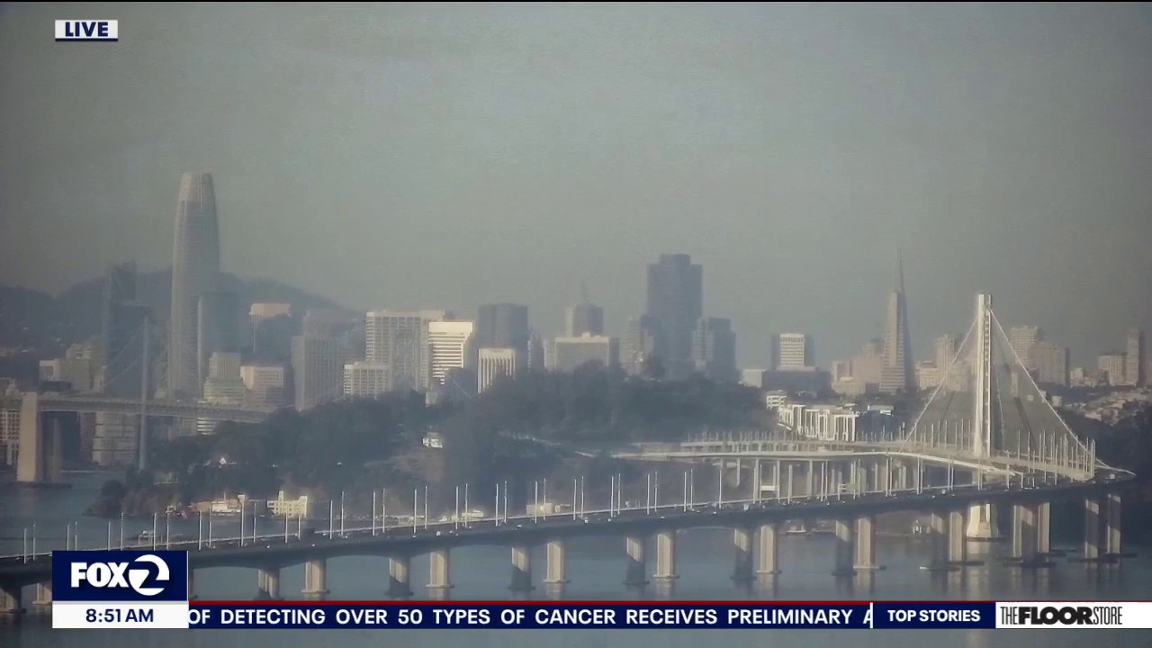
Bay Area residents are facing a spell of unusually hot and hazy weather, with a Spare the Air Alert in force and a Heat Advisory covering inland areas through 10pm on Monday, October 5.
Temperatures are expected to reach 10 to 20 degrees above seasonal averages across much of the interior, while the National Weather Service has warned of moderate to major heat risk through the middle of next week.
The Bay Area Air District issued the ozone alert for Saturday, October 3, and Sunday, October 4, after forecasting unhealthy levels of smog. High inland temperatures, light winds and a delayed afternoon sea breeze are expected to worsen pollution, particularly in the eastern Bay Area, Santa Clara Valley and the central Bay coastline.
Residents have been advised to limit strenuous outdoor activity, especially during the afternoon when ozone levels are likely to be highest. The alert is linked to smog rather than wildfire smoke, and the Air District has urged people to reduce activities that contribute to ozone pollution.
Conditions will vary sharply by location. A compressed marine layer is expected to keep parts of the North Bay coast, the San Francisco Peninsula coast and southern Monterey Bay cooler, although dense fog and reduced visibility are possible along the shoreline.
Inland areas, including the East Bay and South Bay, are likely to remain hot into Wednesday as high pressure strengthens again after a slight increase in onshore winds on Monday. The Heat Advisory remains in effect for the interior Bay Area and Central Coast until 10pm on Monday, with the possibility that warnings could be extended if the heat persists.
Higher elevations face an additional risk from hot, dry conditions and poor overnight humidity recovery. Elevated fire-weather concerns are expected to continue through Thursday, while the ridge of high pressure is forecast to weaken by Friday, bringing the prospect of cooler weather.
