


Hot, dry conditions will continue across inland parts of the Bay Area until Thursday evening, with temperatures running 10 to 15 degrees above normal before a sharp change brings cooler weather by the weekend.
The National Weather Service has issued a Heat Advisory until 10pm on Thursday, warning of maximum temperatures ranging from the mid-90s to nearly 105F in inland communities including the East Bay, North Bay valleys, Santa Clara Valley and parts of Monterey and San Benito counties.
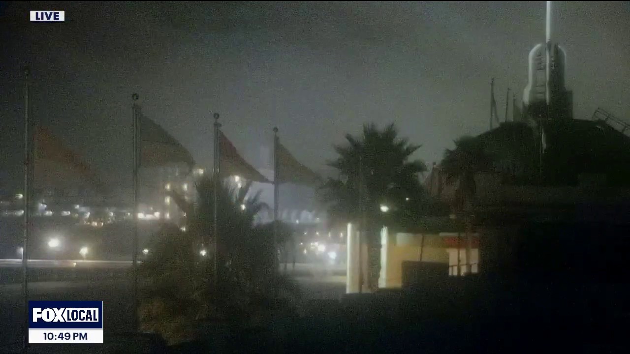
Coastal areas will be cooler, although a compressed marine layer is expected to bring periods of dense fog. Forecasts show temperatures falling towards normal or slightly below normal levels from Friday onwards.
Forecasters are also monitoring the potential for strong northerly winds between Friday and Sunday. The combination of hot, dry conditions and gusty winds could increase fire danger, particularly across higher and inland terrain.
Residents in affected areas have been urged to stay hydrated, limit strenuous activity during the hottest part of the day and check on people who may be vulnerable to heat.
A separate Coastal Flood Advisory remains in force until 1pm on Thursday for bayside locations along San Pablo Bay. The National Weather Service said up to 0.8ft of inundation could affect low-lying areas near shorelines and tidal waterways.
High tides may cause flooding to low-lying infrastructure, isolated road closures and coastal erosion. Officials have advised motorists not to drive around barriers or through water of unknown depth.
