


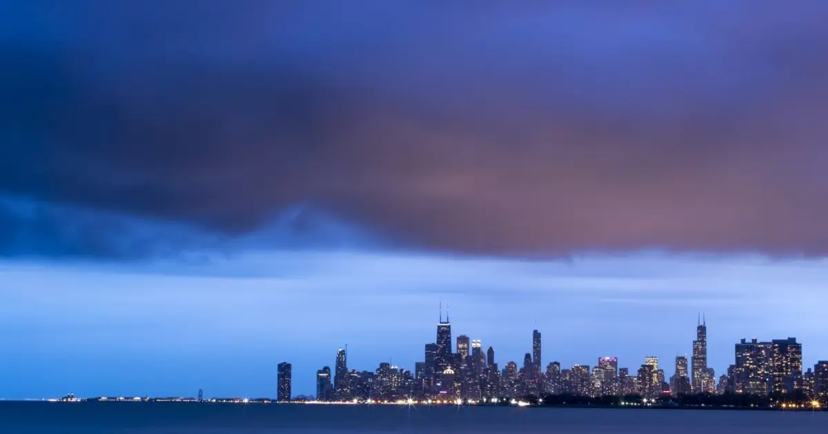
Chicago is facing two more days of rain, with the heaviest downpours bringing a risk of flooding across the city and areas to the north.
Showers and overcast skies are expected on Wednesday, September 30, with temperatures reaching about 19C and south-westerly winds gusting up to 20mph. A few thunderstorms are also possible overnight and on Thursday.
The National Weather Service has warned that repeated bands of rain could produce between 1in and 3in across the wider region through Thursday night. Saturated ground may lead to flooding in low-lying areas and places with poor drainage, while rivers and streams are expected to rise. ([forecast.weather.gov](https://forecast.weather.gov/product.php?format=txt&glossary=1&issuedby=LOT&product=AFD&site=EWX&version=1&utm_source=openai))
Thursday is forecast to remain unsettled, with heavy rain at times and temperatures climbing to around 22C. The greatest rainfall totals are expected in areas around and north of Interstate 80, including parts of northern Cook County and Lake County. ([forecast.weather.gov](https://forecast.weather.gov/MapClick.php?CityName=Chicago&lat=41.837&lg=ep&lon=-87.685&site=LOT&state=IL&unit=1&utm_source=openai))
Conditions should improve on Friday, when Chicago is expected to turn mostly sunny and cooler, with highs near 17C. Sunshine is forecast to continue through Saturday and Sunday, followed by mainly dry and sunny weather early next week. ([forecast.weather.gov](https://forecast.weather.gov/MapClick.php?CityName=Chicago&lat=41.837&lg=ep&lon=-87.685&site=LOT&state=IL&unit=1&utm_source=openai))
