


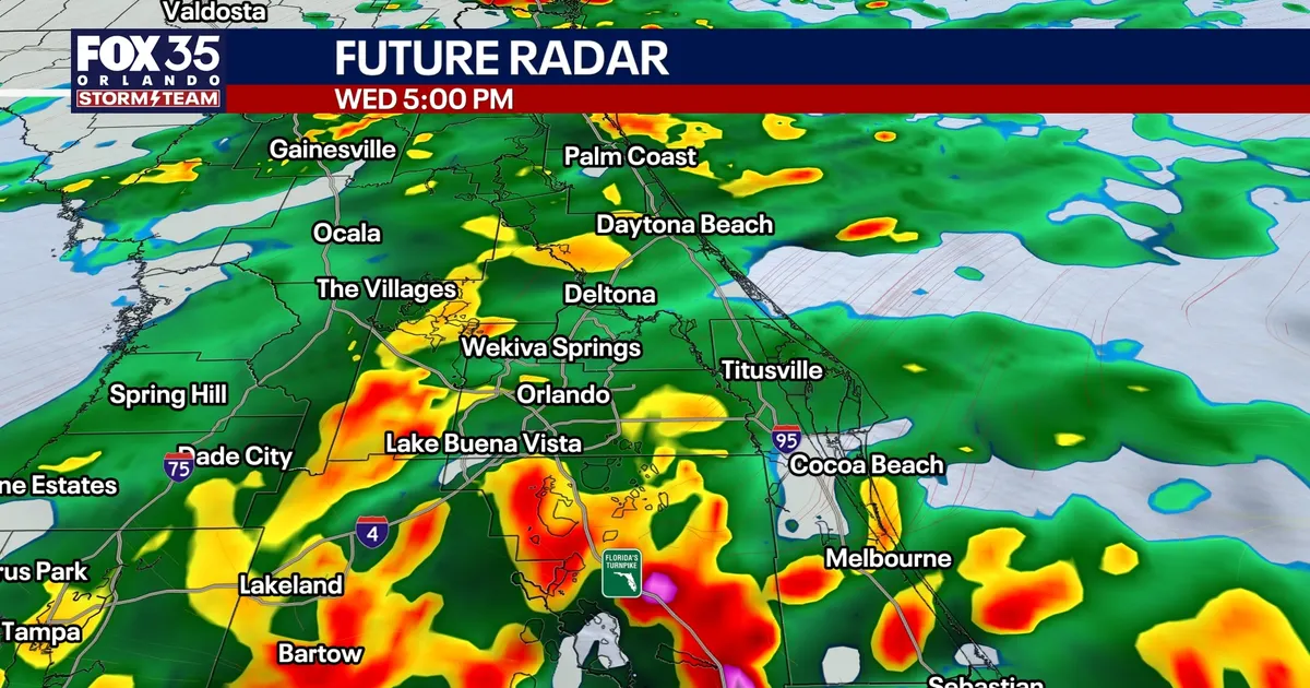
Central Florida is facing another day of torrential rain and thunderstorms on Wednesday, October 7, with the National Weather Service forecasting an 80% to 90% chance of rain across the Orlando area.
Repeated downpours could leave many locations with around 2in of rainfall, while isolated totals may approach 4in where storms track over the same ground. With soils already saturated, minor flooding is possible in areas with poor drainage and other flood-prone locations.
The heaviest storms are expected during the afternoon, particularly in areas that warm into the mid to upper 80s. Rainfall rates could reach 3in to 4in an hour, while a stronger storm south of Orlando may produce a gust of about 45mph.
Severe weather is not expected to be widespread. Much of the day will remain cloudy, damp and unsettled, with temperatures north of Melbourne held in the upper 70s to low 80s. Some southern areas could see brief breaks in the cloud and warmer conditions.
Wet weather set to continue across Orlando
The unsettled pattern is expected to persist through Thursday, when deep tropical moisture and a stalled front will keep the chance of rain close to 80%. Another 2in of widespread rainfall is possible, with isolated areas again nearing 4in.
Friday is also expected to remain wet, although rainfall totals should begin to ease as the front slowly lifts north. The National Weather Service forecast for Orlando gives an 80% chance of rain and thunderstorms on both Thursday and Friday.
Tropical Storm Isaias is adding to the moisture feeding the system. The National Hurricane Center said the storm had maximum sustained winds of about 40mph early on Wednesday and was expected to strengthen into a hurricane on Thursday.
Isaias is forecast to turn towards the north-east before moving north towards the northern Gulf Coast. The current forecast takes it towards the coast between New Orleans and Pensacola late on Friday or early on Saturday, with storm surge and tornadoes possible along and east of its track.
Central Florida is not expected to face a direct hit from the storm, although its wider influence could contribute to the region’s continued wet weather.
Conditions may begin to improve from Monday, October 12, as the Gulf system moves away and high pressure strengthens. Winds are expected to turn more northerly, gradually pushing tropical moisture out of Florida, with noticeably drier weather potentially arriving by the middle of next week.
