


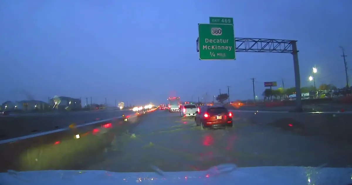
Heavy rain and thunderstorms are set to continue across Dallas and North Texas through Friday, with a flood watch in place as authorities warn of flash flooding on roads and in low-lying areas.
The National Weather Service’s Fort Worth office said the watch covered much of North and Central Texas through Friday morning. Rainfall totals of between 1.5 and 3 inches are expected in many areas, with isolated totals of up to 5 inches possible.
A slow-moving storm system is bringing repeated downpours to the region, raising the risk of flooding in urban areas, creeks, streams and places with poor drainage. Drivers have been warned not to attempt to cross flooded roads.
Heavy rain and flight disruption expected
Road conditions have been affected across North Texas, while severe storms are expected to cause delays at Dallas-Fort Worth International Airport and Dallas Love Field.
The weather service said a few strong to severe thunderstorms could develop along and west of the Interstate 35 corridor from Thursday afternoon into the evening. Heavy rain remains the main threat, although gusty winds and isolated severe weather are also possible.
A cold front moving through the area is expected to bring cooler conditions, with temperatures in the Dallas-Fort Worth area reaching about 80F. The unsettled weather is forecast to persist into Friday before conditions gradually improve.
The rain is also providing relief from dry conditions and helping to ease fire concerns in parts of North Texas, although officials continue to urge residents to monitor warnings and avoid driving through floodwater.
