


Pacific hurricanes are now the main focus for forecasters, with Hurricane Polo threatening Mexico and Hurricane Nolo moving away from Hawaii, while Tropical Depression Fay is expected to fade over the open Atlantic.
Polo was approaching Mexico’s Baja California peninsula on Monday with sustained winds of around 125mph (205km/h). The National Hurricane Center said the storm could bring life-threatening flooding, storm surge, destructive winds and mudslides as it moves across the region.
Hurricane Polo approaches Mexico
The hurricane was forecast to reach Baja California Sur before weakening as it crossed the peninsula. Its remnants are expected to move into mainland Mexico, with heavy rain potentially spreading towards south-west Texas and New Mexico.
Emergency preparations were urged in areas along the storm’s projected path, while residents were warned that saturated ground and steep terrain could increase the risk of flooding and landslides.
Hurricane Nolo, meanwhile, was moving westwards to the south of Hawaii after passing close enough to bring heavy rain, strong winds and large waves to parts of the islands.
The storm had strengthened into a powerful hurricane, with maximum sustained winds reported at about 155mph (250km/h). Forecasters said it could briefly reach Category 5 strength before weakening, although its track was taking it farther away from the Big Island.
Atlantic systems pose no immediate land threat
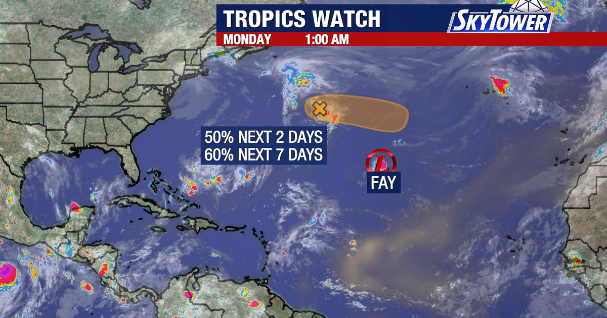
In the Atlantic, Fay was described by forecasters as barely a tropical cyclone. The depression was located well west-south-west of the Azores, with maximum sustained winds near 35mph (55km/h), and no coastal watches or warnings were in effect.
The National Hurricane Center said Fay would probably become a remnant low within days before dissipating later in the week. The system was not expected to affect land.
A separate area of disorganised showers and thunderstorms was also being monitored several hundred miles east of Bermuda. It had a 50 per cent chance of developing into a tropical depression within 48 hours and a 60 per cent chance over seven days, but forecasters said its projected movement away from the coast made a significant land impact unlikely.
