


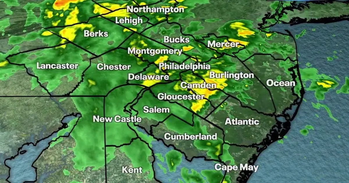
A powerful nor’easter is bringing damaging winds, heavy rain and a serious coastal flooding threat to New Jersey, Delaware, New York City and Long Island, with the storm expected to reach its most disruptive phase this weekend.
More than 40 million people are in the system’s wider path as it stalls offshore, driving water towards the coast during successive high-tide cycles. Forecasters warn that flooding, dangerous surf and severe beach erosion could continue through Sunday.
New Jersey Governor Mikie Sherrill declared a state of emergency across eight counties from 5pm on Friday, activating the state’s emergency operations centre. Atlantic, Burlington, Cape May, Cumberland, Middlesex, Monmouth, Ocean and Salem counties are covered by the declaration.
Officials warned residents to avoid unnecessary travel, secure loose items outdoors and never drive through floodwater. The National Weather Service has issued coastal flood warnings and high-wind alerts across exposed parts of the region.
Nor’easter brings flooding threat to New Jersey and Delaware
The Jersey Shore, Delaware beaches and areas around Delaware Bay face some of the most serious impacts. Offshore waves of between 15ft and 18ft are expected to batter beaches, with dangerous rip currents, hazardous navigation conditions and widespread erosion.
Major tidal flooding is possible during the highest tides, particularly on Saturday morning and Saturday night. Low-lying roads near the coast and bays may become impassable, while beachfront and waterfront properties could face flooding and structural damage.
The National Weather Service has also warned that sand dunes could be breached in parts of New Jersey and Delaware. Storm-force winds over nearby waters are expected to make conditions particularly dangerous for boats, with seas forecast to become extremely rough.
New York City and Long Island face high winds and coastal flooding
New York City and Long Island are expected to see northeast wind gusts of between 40mph and 50mph, pushing large waves against south-facing beaches. The strongest effects are forecast along the south shore of Queens, Nassau and south-western Suffolk.
Water levels could rise by up to 3½ft above ground in the most vulnerable locations, with flooding spreading along waterfront roads, tidal rivers and bays. Numerous road closures are possible, and vehicles left in low-lying areas may be inundated.
Coastal flood warnings remain in force across vulnerable parts of New Jersey and New York through Sunday evening. High surf advisories and warnings over dangerous rip currents are also in place along sections of Long Island and the Jersey Shore.
Washington DC is expected to escape the heaviest rain bands because the storm’s centre is tracking offshore, although brisk winds and minor to moderate tidal flooding remain possible along the tidal Potomac and Chesapeake Bay.
The nor’easter is expected to weaken after the weekend, but lingering rain, high surf and coastal flooding may continue into Monday before conditions gradually improve.
