


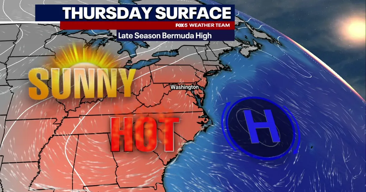
Summer-like weather is set to return to Washington DC on Thursday, with warm, humid conditions sending afternoon temperatures into the mid-80s before the heat peaks on Friday.
The National Weather Service forecasts mostly sunny skies and a high of about 85F (29C) in the capital on Thursday. Light south-westerly winds and lingering moisture will make it feel more like summer than early October.
Friday is expected to be the warmest day of the spell, with temperatures reaching about 88F (31C) in Washington and nearby areas. The day should remain largely dry and bright before conditions turn more unsettled overnight.
Showers are likely to develop late on Friday night and continue into Saturday morning as a cold front approaches. Rain is not expected to persist throughout the weekend, however, and Saturday should become drier after the early showers.
Further showers, with a chance of thunderstorms, are possible on Sunday as the front moves across the region. The heaviest rain is expected to remain south and east of the city.
Once the front clears by late Sunday, cooler and drier air will spread across the Washington DC area. Temperatures are forecast to fall to around 70F (21C) on Monday and near 61F (16C) on Tuesday, marking a sharp change from Friday’s summer warmth.
