


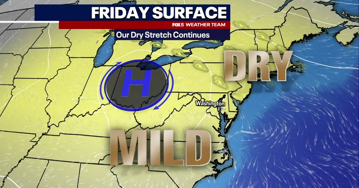
Washington DC is set for a dry and mild Friday before the remnants of Hurricane Isaias bring rain to the region from Sunday morning.
Temperatures began in the 40s outside the city and the 50s at Ronald Reagan Washington National Airport. Conditions are expected to remain pleasant through the day, with highs in the mid-70s Fahrenheit and cloud increasing during the afternoon.
Saturday should be the drier of the two weekend days, although thick cloud will dominate and temperatures are forecast to remain in the upper 60s and low 70s.
Isaias, currently a Category 2 hurricane, is expected to strengthen slightly before making landfall along the Gulf Coast between Friday night and early Saturday. As the storm moves north and weakens, its remnants are forecast to turn towards the mid-Atlantic.
Scattered showers could reach the Washington DC area from around 6.30am on Sunday, with wet weather coming and going throughout the day. Rain is likely to linger into Monday morning before clearing during the afternoon.
Dry conditions are expected to return on Tuesday, when temperatures should rise to about 80F.
