


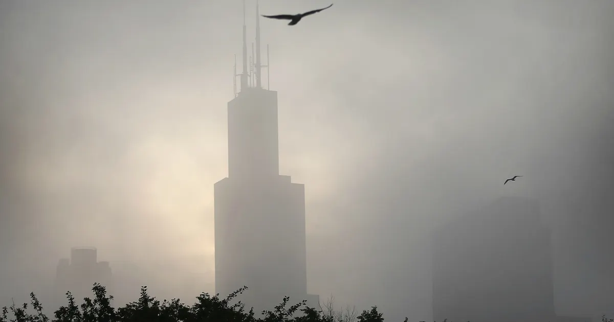
A dense fog advisory was issued across parts of the Chicago area on Monday morning before sunshine and mild temperatures were expected to return later in the day.
The National Weather Service said visibility could fall to a quarter of a mile or less in the worst-affected areas, with the advisory covering southern and eastern Will County, Kankakee County and several counties in north-west Indiana until 10am local time.
Drivers were urged to slow down, leave extra space between vehicles and use dipped headlights where fog was thick. Other parts of north-east Illinois were also warned of patches of locally dense fog through the morning.
Conditions were expected to improve as the day progressed, with plenty of sunshine and temperatures reaching the low to mid-70s Fahrenheit. Clear skies overnight will bring cooler conditions, with lows close to 50F and the possibility of another spell of thick fog in some areas.
Rain expected later in the week
Tuesday is forecast to be mostly sunny and slightly warmer, with highs in the mid to upper 70s. Cloud will build on Wednesday, although rain is not expected until late in the day or overnight.
Thursday is likely to be the wettest day of the week, with temperatures in the low 70s. Forecasters said moisture linked to the remnants of former Hurricane Polo could contribute to the unsettled weather.
High pressure is expected to push the rain south on Friday, leaving partly cloudy skies and cooler temperatures in the mid to upper 60s. Similar conditions are forecast over the weekend, with partly sunny skies and temperatures in the same range.
