


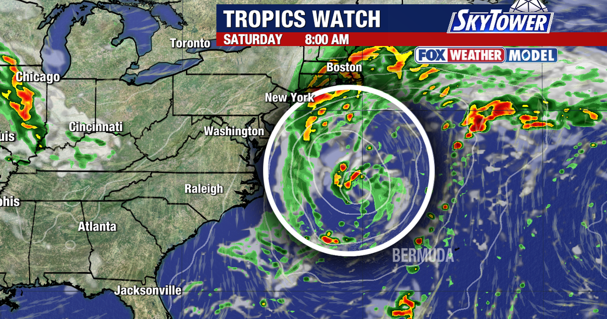
Hurricane Polo was edging along the coast of Mexico on Wednesday as a powerful Category 5 storm, while a separate coastal system threatened to bring heavy rain, strong winds and beach erosion to the north-eastern United States this weekend.
The National Hurricane Centre said Polo was stationary off south-western Mexico early on Wednesday, with maximum sustained winds of about 165mph. The storm had previously reached peak winds of roughly 180mph.
Forecasters expect Polo to move north-eastwards near the Mexican coastline before weakening as it approaches the Baja California peninsula early next week. Its slow movement has contributed to dangerous conditions at sea, with very large waves reported near the storm.
Northeast coastal storm risks
Attention in the US is also focused on an area of low pressure expected to develop off the mid-Atlantic coast before drifting towards New England over the weekend.
Forecast models remain divided over the system’s precise track. Some projections bring it closer to the coast, while others keep the centre offshore, making the timing and severity of the impacts difficult to determine.
The US National Weather Service said an upper-level low was likely to stall over the mid-Atlantic and north-east, supporting a slow-moving coastal depression. Strong onshore winds could persist for several days, increasing the risk of coastal flooding, high surf, dangerous rip currents and beach erosion.
Communities along the coast may also see periods of heavy rainfall and gusty winds, with conditions likely to vary depending on how close the developing system comes to land.
In the Atlantic tropics, the National Hurricane Centre said a tropical wave moving off the west coast of Africa had a 40 per cent chance of developing into a short-lived tropical depression over the next seven days.
The system could strengthen on Thursday or Friday, but strong upper-level winds are expected to limit its development by the weekend. The Cabo Verde Islands could experience gusty winds and heavy rain as the disturbance passes nearby.
There were no active tropical cyclones in the Atlantic as of Wednesday morning, according to the hurricane centre. The main immediate concern for the US east coast was the separate non-tropical coastal low expected to form later in the week.
