


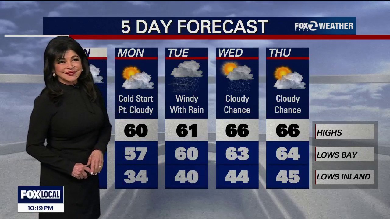
A major storm is expected to bring heavy rain, strong winds and possible travel disruption to the San Francisco Bay Area on Tuesday and Wednesday, after a brief dry spell on Monday.
The moisture-rich system could deliver 1.5 to 3 inches of rain in the North Bay and between 0.5 and 1.5 inches elsewhere. Gusts are forecast to reach 20 to 30mph inland, with winds of up to 45mph along the coast and in the mountains.
The storm may cause delays on roads, rail services and at airports, with a slight chance of thunderstorms. Run-off combined with high tides could also worsen flooding around the bayshore.
Coastal flood warning issued
A coastal flood advisory remains in effect until 6am on Monday for the coast, San Pablo Bay and San Francisco Bay, with water levels expected to reach 2.1ft above the inundation level.
A coastal flood warning will then be in force from Monday through Thursday for San Francisco Bay and San Pablo Bay, where levels could rise to 3ft above the inundation level.
Sunday is expected to bring patchy morning fog, cloudy skies and a slight chance of a shower, with highs below 60F. Monday will offer a cool, dry break, with temperatures in the upper 50s to low 60s.
The storm is forecast to clear early on Thursday, leaving dry and pleasant conditions for Thanksgiving, with inland temperatures rising into the mid to upper 60s.
Rain could return late on Friday and continue into the following weekend.
