


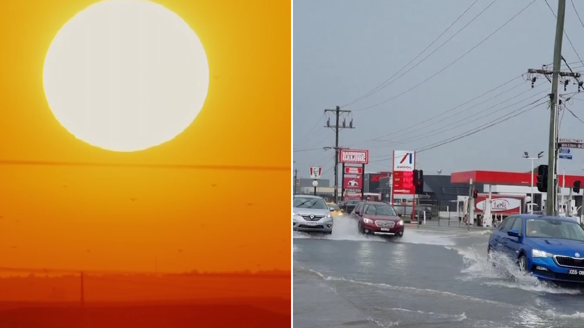
Extreme heat, dangerous fire conditions, storms and flooding are sweeping eastern Australia, with Queensland, New South Wales and Victoria facing sharply contrasting weather on Sunday.
Brisbane is expected to reach 34C and Ipswich 36C before a cooler change moves across south-east Queensland later in the afternoon and evening. Smoke has already been reported in Ipswich and parts of Brisbane’s south-west, prompting warnings over the heightened fire risk.
Jonathan How, a senior meteorologist at the Bureau of Meteorology, described the conditions as highly unusual for the beginning of spring.
“Today will be a scorcher,” he told Sunrise, warning people across south-east Queensland to take care as the high fire danger persisted.
The extreme conditions follow a record-breaking day in Sydney and along much of the New South Wales coast. Temperatures reached 32C in the city on Saturday, surpassing the previous early-spring record set in 2013, while parts of western Sydney climbed to 33C.
The heat was followed by a powerful cold front, bringing storms and damaging winds across the state. Fire and Rescue NSW said a total fire ban was in place in the Greater Sydney region on Saturday as extreme fire danger was forecast.
Cold front moves north along New South Wales coast
Sydney is expected to be cooler and calmer on Sunday, but the weather system is moving north towards other parts of New South Wales.
“The cold front responsible has moved away from Sydney, but is now racing up the New South Wales coast,” Mr How said. “So for Sydney today, much calmer weather, much cooler. But there is more on the way for areas in the north of the state.”
The volatile conditions were matched by a sudden wintry turn in the alpine region, where snow fell at Perisher on Saturday. Further significant snowfall was not expected as the weekend progressed.
In Victoria, residents were urged to keep monitoring flood warnings after 50mm to 80mm of rain fell in some alpine areas. Warnings remained current for the Murray and Loddon rivers, as well as parts of the state’s north-east.
Mr How said floodwaters would continue moving downstream for several days, with further showers possible across the affected areas.
Melbourne, Hobart and Adelaide were forecast to have a cooler and mostly dry Father’s Day, while Perth faced morning showers before conditions eased. More settled weather was expected across much of the country as the new week began.
