


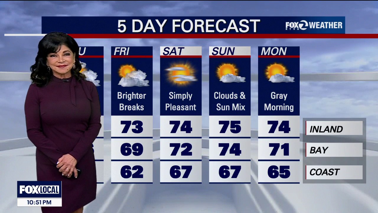
Bay Area showers are expected to return during Thursday morning’s commute, with further rounds of rain, cooler temperatures and stronger onshore winds forecast across the region.
The National Weather Service said showers would continue into Thursday afternoon, with brief dry intervals between bands. San Francisco is expected to receive up to 0.15in of rain, while totals could reach 0.25in in parts of the East Bay, South Bay and Peninsula. ([marine.weather.gov](https://marine.weather.gov/product.php?format=txt&glossary=0&issuedby=MTR&product=AFD&site=AFG&version=1&utm_source=openai))
The heaviest rainfall is forecast along the Monterey Bay coast. Santa Cruz could see between 0.10in and 0.25in, while Watsonville and Salinas may receive up to 0.50in. Monterey is forecast to record between 0.50in and 1in.
A residual risk of thunderstorms will remain along the Central Coast, although the threat of waterspouts or tornadoes is expected to diminish by late morning. The weather service said the chance of thunderstorms would fall to below 15 per cent during Thursday morning, with drier conditions returning by Friday. ([marine.weather.gov](https://marine.weather.gov/product.php?format=txt&glossary=0&issuedby=MTR&product=AFD&site=AFG&version=1&utm_source=openai))
Snow expected at higher Tahoe and Sierra elevations
Snow is also expected in the higher Sierra, although rain is likely to fall at lake level in the Tahoe Basin. Snow levels will begin above 8,500ft before dropping to between 7,500ft and 8,000ft on Thursday morning.
Forecasters estimate a 70 per cent chance of at least 2in of snow above 8,000ft, and a 25 per cent chance of at least 4in. Higher mountain passes could become slippery as conditions deteriorate.
The most significant snowfall is forecast south of Tahoe, where the National Weather Service has issued a Winter Weather Advisory for Mono County above 8,000ft until 5pm on Thursday. The area could receive between 4in and 8in, with locally as much as 10in on the highest peaks. ([weather.gov](https://www.weather.gov/rev/?utm_source=openai))
In the Greater Lake Tahoe area, Thursday is expected to bring a mixture of showers and possible thunderstorms, with snow levels lowering to around 8,000ft to 8,500ft. The advisory issued for Mono County does not cover the Tahoe Basin itself. ([weather.gov](https://www.weather.gov/eka/zfprev?utm_source=openai))
