


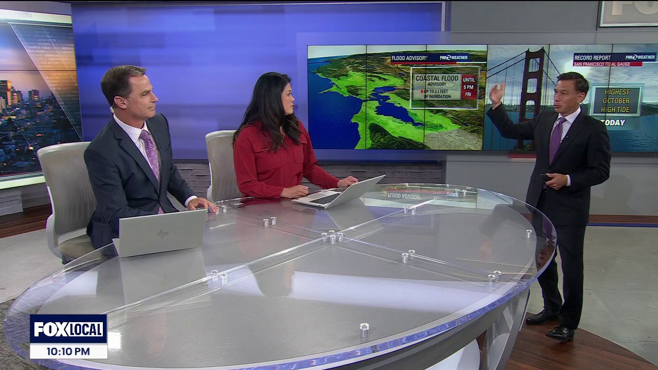
A coastal flood advisory for the San Francisco Bay Area has been extended until 5pm on Friday, with water levels already exceeding those listed in published tide tables.
The greatest threat is expected around the North Bay, where high tides could cause flooding in low-lying areas and along tidal waterways. Other parts of the Bay Area may also experience minor flooding.
The National Weather Service said up to 2.1ft of inundation above ground level was possible in vulnerable shoreline areas, including parts of San Pablo Bay and San Francisco Bay. It warned that high tides could affect low-lying infrastructure, trigger isolated road closures and increase coastal erosion. ([weather.gov](https://www.weather.gov/wwamap/wwatxtget.php?cwa=usa&wwa=all&utm_source=openai))
At the San Francisco tidal gauge, the high tide was forecast to reach about 2.1ft above normal on Tuesday, with further elevated tides expected through Thursday. Officials advised people to allow extra time for travel, avoid driving through water of unknown depth and take precautions to protect flood-prone property. ([weather.gov](https://www.weather.gov/wwamap/wwatxtget.php?cwa=usa&wwa=all&utm_source=openai))
