


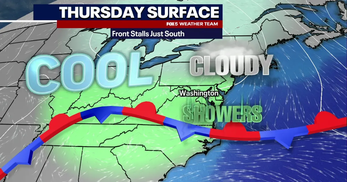
Washington DC is facing a sharp reversal in conditions on Thursday, October 15, with showers and cloudy skies expected after a record high of 90F (32C) the previous day.
Temperatures will fall by nearly 30F (17C), from mild conditions in the 70sF (around 21C) during the morning to about 64F (18C) in the afternoon. Winds from the north-east will draw cooler air into the region as a stalled front lingers to the south.
The National Weather Service has put the chance of rain at 80%, with showers most likely from around midday and rainfall totals of between 0.1in and 0.25in possible. The highest risk of precipitation is expected south of the District and into parts of Maryland and Virginia.
Friday is expected to bring another brief spell of warmth, with temperatures climbing back into the low 80sF (around 28C). However, the National Weather Service is warning of showers, thunderstorms and a risk of severe weather later in the day as a strong cold front moves through.
Much colder conditions are then expected to settle across the Washington region for the weekend. Saturday’s high is forecast to remain in the mid-50sF (about 13C), while overnight temperatures could fall towards 40F (4C), with frost possible in some areas.
