


Humidity is set to build across Tampa, Florida, before a cold front brings a wetter and breezier weekend, followed by cooler and less humid conditions early next week.
Thursday is expected to remain largely sunny and warm, with isolated showers and thunderstorms developing late in the day. The National Weather Service is forecasting a high of about 90F (32C), with a heat index approaching 98F (37C).
Tampa weekend forecast
Moisture will increase on Friday, raising the chance of scattered showers and thunderstorms, particularly during the afternoon and evening. Temperatures are expected to reach about 89F (32C), while the chance of rain will rise further overnight.
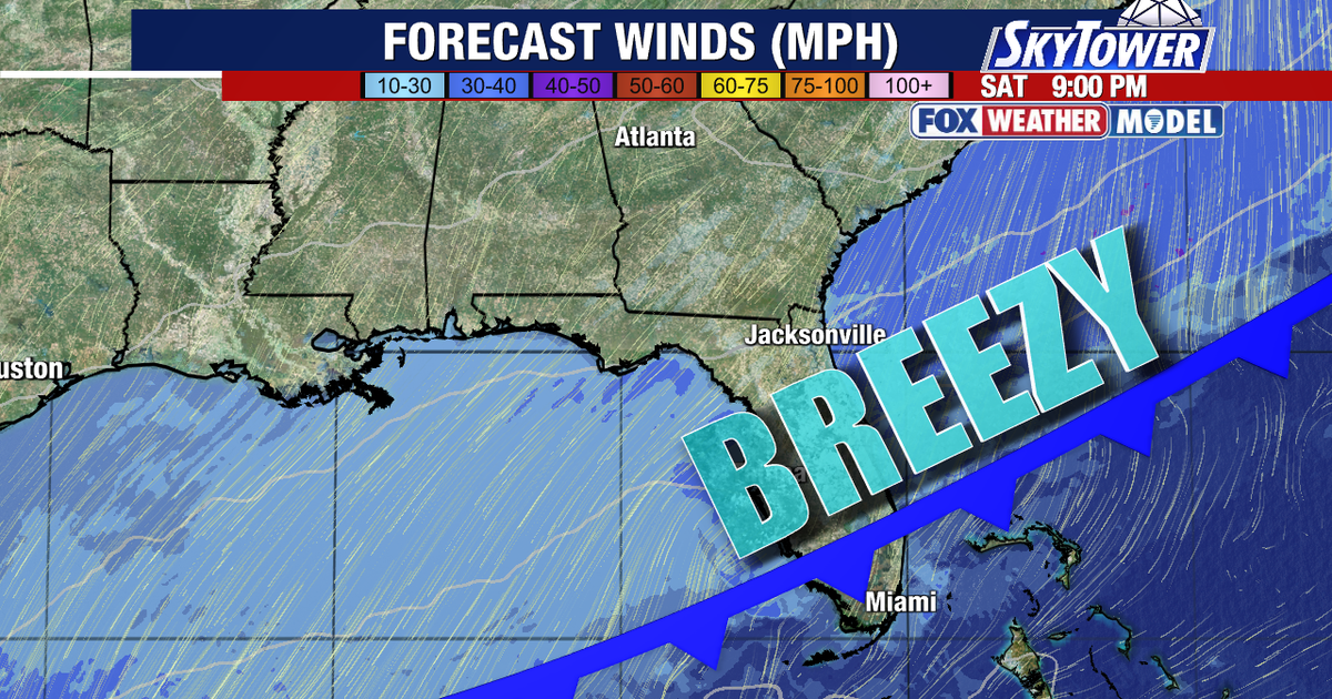
The cold front is forecast to move across Florida on Saturday, bringing showers and a risk of thunderstorms through much of the day. Tampa has a 60% chance of rain, with temperatures reaching around 80F (27C).
Winds will strengthen as the front passes, shifting towards the north and becoming breezy. Gusts could reach about 20mph (32km/h) during the day, with stronger winds expected overnight and on Sunday.
By Sunday, conditions should turn mostly sunny but remain windy, with a high near 78F (26C). Gusts could reach about 31mph (50km/h), while overnight temperatures are expected to fall to around 66F (19C).
The cooler, drier pattern is likely to continue into next week. Forecast highs are expected to remain close to 80F (27C), with lower humidity providing a noticeable change from the more oppressive conditions returning on Thursday.
The Atlantic tropical outlook remains quiet. The National Hurricane Center said tropical cyclone formation was not expected in the Atlantic, Caribbean Sea or Gulf of America over the following seven days.
