


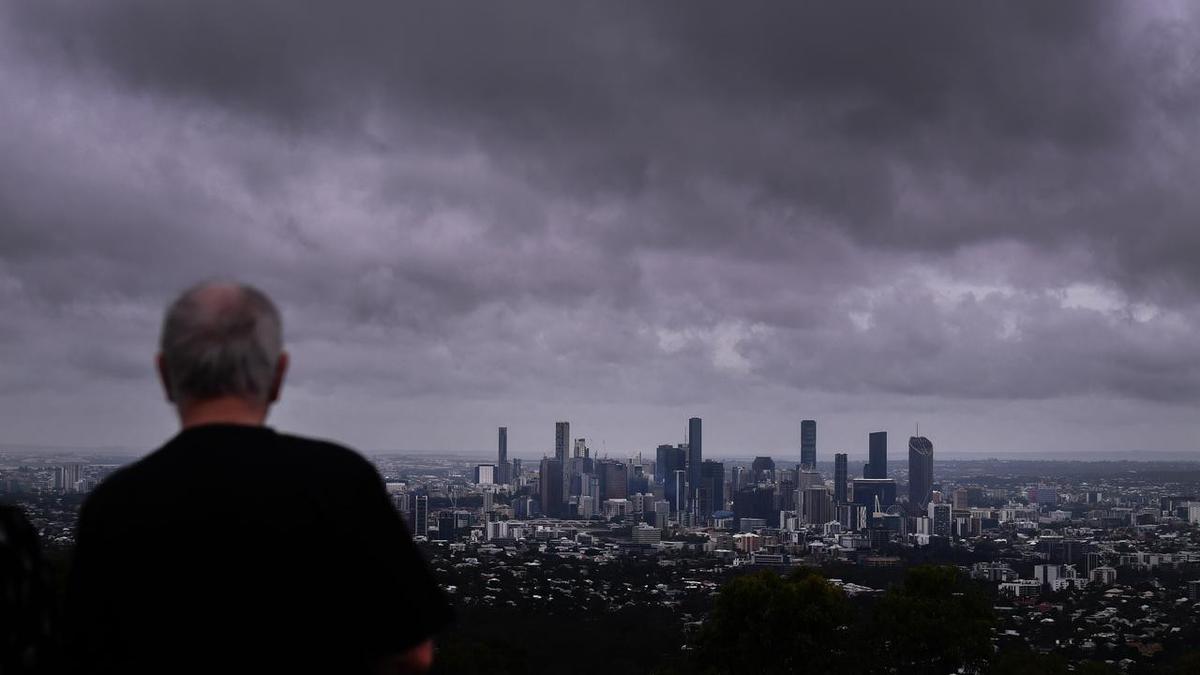
Severe thunderstorms are forecast across south-east Queensland and northern New South Wales on Tuesday, with the Bureau of Meteorology warning of giant hail, destructive winds, torrential rain and the possibility of tornadoes.
The storms could affect areas east of Charleville and are expected to be particularly likely south of Biloela, including Dalby, Toowoomba, Brisbane, Maroochydore, Gympie and the Gold Coast.
BOM forecaster Robert Urbaniak said the most severe conditions were more likely inland, although coastal areas could also be affected.
“In that area where they’re likely, including Dalby, Toowoomba, Brisbane, Maroochydore, Gympie, the Gold Coast, there’s the chance of giant hail — which is greater than 5cm in diameter — along with destructive wind gusts greater than 125km/h and heavy rainfall as well,” he said.
A low-pressure trough moving east from central Queensland towards the coast is expected to clash with warm, humid air from the Coral Sea, creating the conditions for severe storms.
There is also a risk of flash flooding after heavy rain affected the region over several days in October. Severe thunderstorms are forecast around the Northern Rivers area of northern New South Wales as well.
Mr Urbaniak said one or two tornadoes were possible inland. “Tornadoes aren’t super common in Australia, but they do occur with severe thunderstorms so it’s a very, potentially, impactful thunderstorm day,” he said.
Storm activity early on Tuesday could reduce the severity of storms later in the day by cooling the atmosphere. However, a moderate fire danger rating is in place for Brisbane and surrounding areas, while a high rating applies around the Darling Downs, Toowoomba and Dalby.
Conditions are expected to ease on Wednesday, with mostly sunny weather forecast for the rest of the week. Further storms remain possible in Wide Bay and Burnett, and on the Sunshine Coast, on Saturday, while Brisbane could see a thunderstorm on Sunday.
