


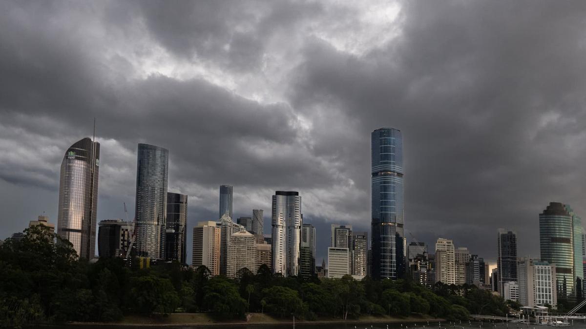
A major storm front moving through south-eastern Australia is expected to bring damaging winds, heavy rain and severe thunderstorms to the New South Wales and Queensland coasts from late Saturday afternoon.
Satellite images show a band of cloud stretching several hundred kilometres across Victoria and travelling north-east. The Bureau of Meteorology said the system would produce a “dramatic change” in conditions across New South Wales.
Bureau meteorologist David Crock said the front would be the “main feature” of the national weather picture on Saturday and Sunday.
“Severe thunderstorms are on the forecast through this afternoon and this evening, which could do the usual things we see, bringing damaging winds, large hail and heavy rainfall,” he said.
As the cold front moves up the New South Wales coast, Sydney is expected to experience a sharp shift from temperatures approaching 30°C to strong, gusty southerly winds, showers and possible thunderstorms.
Mr Crock said temperatures could fall by about 10 degrees. Sydney is forecast to reach a maximum of 19°C on Sunday, while Melbourne is expected to reach 17°C.
The Hunter region faces particularly contrasting conditions, with extreme fire danger during the day followed by the risk of heavy rain causing damage during the evening.
Severe thunderstorms are also forecast for northern suburbs of Brisbane and may affect parts of the Wide Bay–Burnett region in southern Queensland.
While the south-east prepares for storms, heatwave conditions are expected across large areas of the Northern Territory and northern Western Australia, including the Kimberley, Daly, Arnhem and Carpentaria regions.
Marble Bar recorded 46.5°C, described by Mr Crock as a November record for the area, amid a series of recent records across the tropical north.
Brisbane is forecast to remain warm on Sunday with a high of 29°C. Hobart is expected to reach 16°C, Adelaide 24°C, Perth 18°C and Darwin 35°C.
