


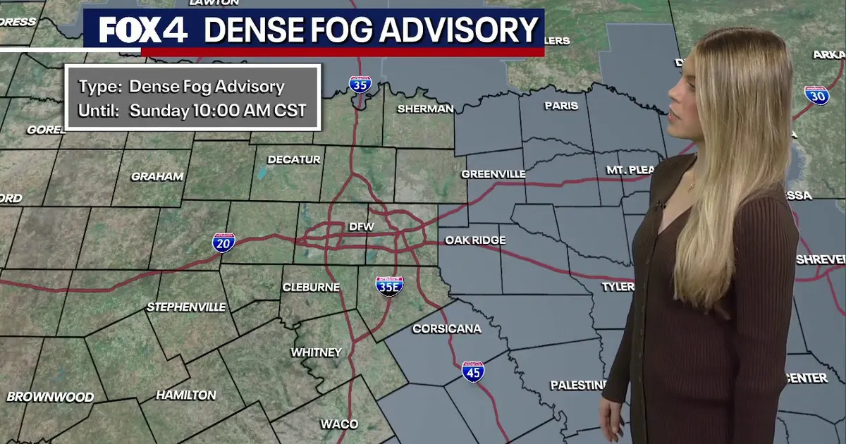
Dense fog has settled across parts of Texas and Oklahoma ahead of a storm system expected to bring strong thunderstorms to North Texas on Monday night, followed by a sharp change to cooler, drier conditions.
The National Weather Service issued a Dense Fog Advisory for areas of North and Central Texas, including counties east of Interstate 35, with visibility reduced to around a quarter of a mile in places. The advisory was due to remain in force until 10am on Sunday.
Although much of the Dallas-Fort Worth area was initially outside the main advisory zone, forecasters warned that patchy fog and low cloud could still affect the region. Calm winds, high humidity and temperatures close to dew points created favourable conditions for the mist to form.
Drivers were urged to slow down, use dipped headlights and leave extra space between vehicles. A ground stop was also issued at Dallas-Fort Worth International Airport until at least 8am, as poor visibility affected morning operations.
Severe storms expected on Monday night
The weather is expected to turn more unsettled on Monday as a low-pressure system moves east from the Four Corners region and a cold front advances across Texas.
Showers could develop during Monday afternoon, with the chance of rain increasing significantly overnight. The National Weather Service forecast a 90 per cent chance of rain and thunderstorms around Dallas-Fort Worth on Monday night.
Much of North Texas has been placed under a low risk of severe weather. The main threats include damaging straight-line winds, frequent lightning, hail and brief tornadoes, while localised flooding could occur where heavier downpours develop.
Forecast models suggest some parts of the Dallas-Fort Worth area and eastern counties could receive between 1.5 and 2 inches of rain. The most active storms are expected to move east of the region by early Tuesday afternoon.
Monday is expected to be warm and windy, with temperatures reaching the mid-80s Fahrenheit and southerly winds gusting to around 35mph. The front should then bring a much cooler air mass, with Tuesday afternoon temperatures falling to the mid-70s and brisk north-westerly winds developing.
Conditions are forecast to improve before midday on Tuesday, with clearing skies later in the day. Wednesday is expected to be mostly sunny, with temperatures in the low to mid-70s, while another weaker front late in the week should return daytime temperatures closer to early-November averages.
Clear and seasonable weather is expected to continue into the weekend, with morning temperatures in the 50s and afternoon highs in the low 70s.
