


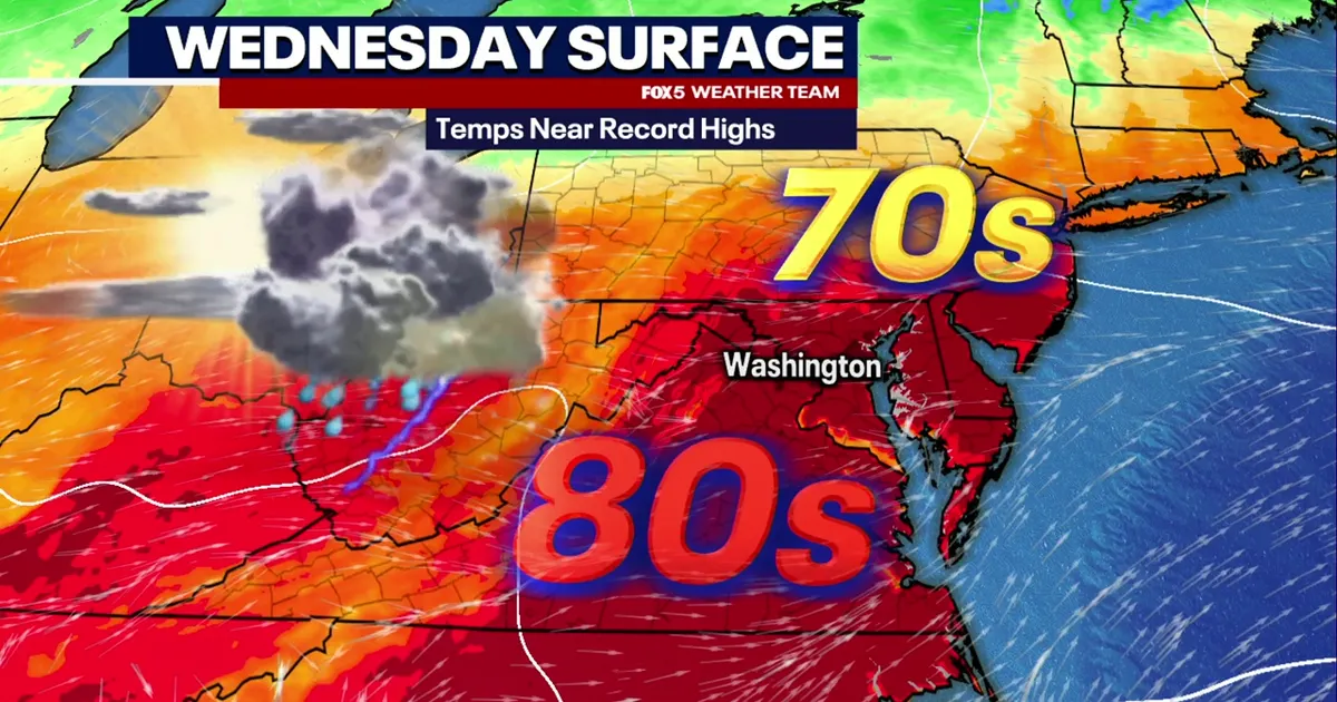
Washington DC is set for near-record warmth on Wednesday, October 14, with temperatures expected to climb into the upper 80s before showers and isolated thunderstorms move across the region later in the day.
The National Weather Service is forecasting a high of about 31C (88F) in the capital, matching or potentially exceeding the daily record of 87F (30.5C) set in 1975 at Washington National Airport.
Most areas are expected to remain dry through the afternoon, with a cold front approaching from the north-west. Scattered showers and thunderstorms could develop from late afternoon into the evening, particularly north and west of Washington.
Forecasters said any storms should be isolated to scattered, with damaging wind gusts the main potential hazard. The chance of thunderstorms is lower along the Interstate 95 corridor, while areas west of the Blue Ridge face a greater risk.
Conditions are expected to turn markedly cooler on Thursday, when highs will fall back into the mid-60s Fahrenheit and showers become more widespread.
The National Weather Service is also warning of a sharp change by the weekend, with temperatures dropping into the 40s and frost or freezing conditions possible in many areas, especially west of Interstate 95.
