


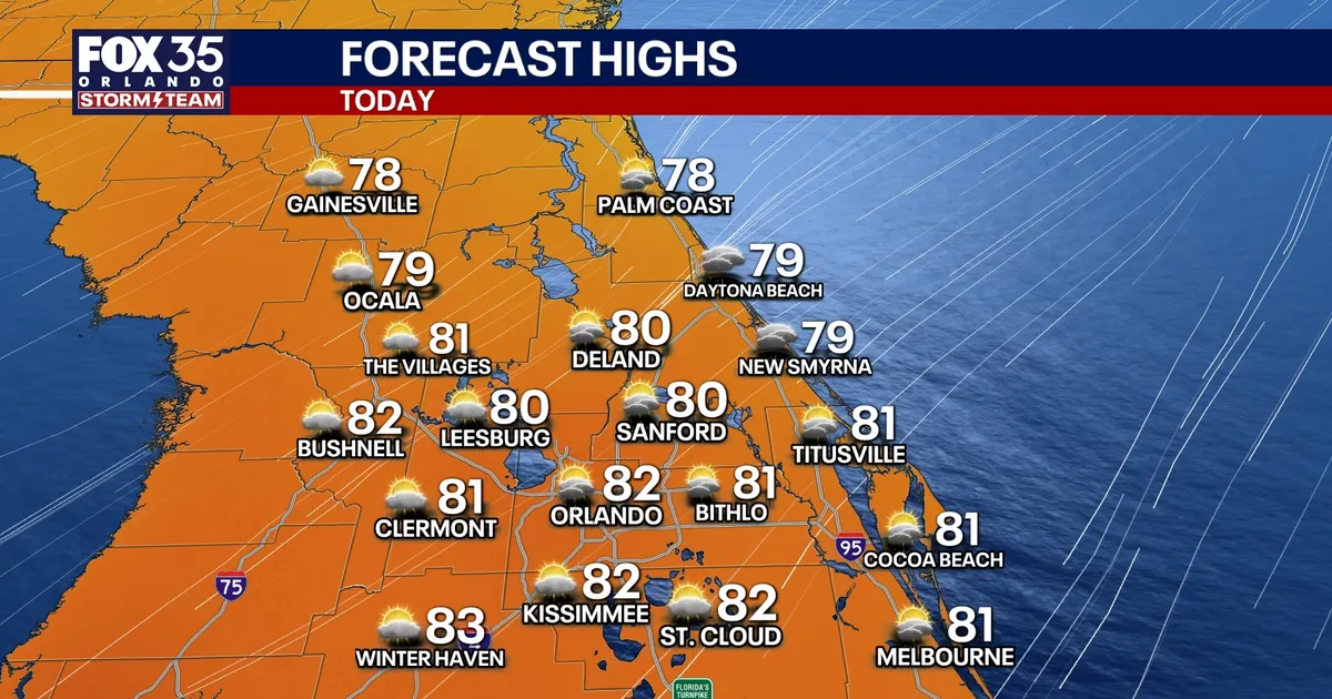
Strong winds and fast-moving Atlantic showers are set to continue across Central Florida, with the worst conditions expected along the coast near Orlando and Cape Canaveral.
Northeasterly gusts of 30 to 40mph are forecast on Monday, while heavier squalls could briefly produce gusts of up to 50mph. Showers will move inland from the Atlantic, with the greatest coverage near the beaches, although there will also be spells of sunshine and temperatures around 80 to 82F.
The National Weather Service in Melbourne has warned that hazardous beach and boating conditions will persist through at least the middle of the week. A coastal flood warning, high surf advisory and high rip-current risk are in force for several Atlantic coastal counties until early Thursday.
Dangerous coastal conditions
Breaking waves of between 7ft and 11ft are expected in the surf zone, bringing a significant risk to swimmers and surfers. Low-lying roads, car parks, docks and properties near the Intracoastal Waterway could also be affected by minor to moderate flooding during high tide. ([forecast.weather.gov](https://forecast.weather.gov/wwamap/wwatxtget.php?cwa=usa&wwa=all&utm_source=openai))
Marine warnings cover waters from the Volusia-Brevard County line south towards Jupiter Inlet, where northeast winds of 25 to 30 knots, gusting to 35 knots, could produce seas of 12ft to 15ft. The National Weather Service has advised beachgoers to stay out of the ocean and recreational boaters to avoid going offshore. ([weather.gov](https://www.weather.gov/wwamap/wwatxtget.php?cwa=usa&wwa=all&utm_source=openai))
A wind advisory remains in place along the coast until 8pm on Monday. Inland areas are expected to be breezy rather than as windy, with gusts generally reaching 25 to 30mph.
Conditions should ease slightly on Tuesday, although rain chances will remain higher along the Treasure Coast and south of Cape Canaveral. Inland and northern parts of Central Florida are expected to see fewer showers, with temperatures again reaching the lower 80s.
More moisture is expected to arrive on Wednesday and Thursday, bringing scattered showers and the possibility of an isolated thunderstorm, particularly from Cape Canaveral southwards. Gusty northeast winds are likely to continue through Thursday and Friday before gradually weakening.
Forecasters said no tropical cyclone development is expected in the Atlantic, Caribbean or Gulf of Mexico over the next seven days. The low-pressure system driving the unsettled coastal weather is not currently expected to develop into a tropical storm or hurricane.
