


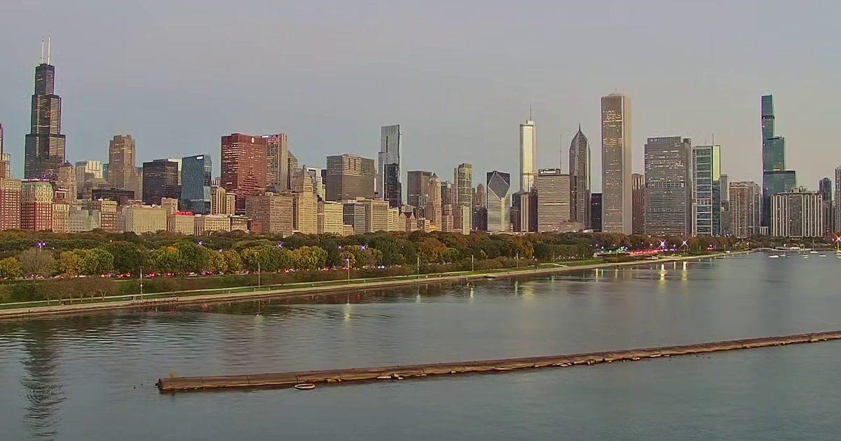
Chicago is facing its coldest temperatures in six months, with a freeze possible across much of the area on Friday night before a milder spell arrives over the weekend.
Temperatures will struggle to rise beyond the upper 40s Fahrenheit (around 9C) on Friday as a mix of cloud and sunshine develops. Cloud cover is expected to thicken during the afternoon, particularly close to Lake Michigan.
Lake-effect rain showers may affect parts of north-west Indiana, with LaPorte and Berrien counties most at risk. The National Weather Service said below-freezing temperatures could spread across a large part of northern Illinois overnight into Saturday morning. ([weather.gov](https://www.weather.gov/lot/briefing_forecast?utm_source=openai))
Chicago freeze forecast
Skies should become mostly clear or partly cloudy overnight, allowing temperatures to fall sharply. Areas outside the urban heat island and away from the lake-effect cloud cover are most likely to reach freezing or below.
The National Weather Service said people with sensitive plants should take precautions against the cold, although frost and freeze headlines have been discontinued for the remainder of the autumn. ([weather.gov](https://www.weather.gov/lot/briefing_forecast?utm_source=openai))
Saturday will be partly to mostly sunny, with highs in the lower 50s Fahrenheit, close to normal for this time of year. Sunday is expected to be brighter and milder, with temperatures reaching about 58F (14C).
The cold snap is forecast to be brief. Dry conditions should continue next week, while highs are expected to climb into the lower 60s from Monday through Wednesday as a warming trend takes hold. ([forecast.weather.gov](https://forecast.weather.gov/MapClick.php?FcstType=text&TextType=2&lat=41.8226&lg=english&lon=-87.6666&unit=0&utm_source=openai))
