


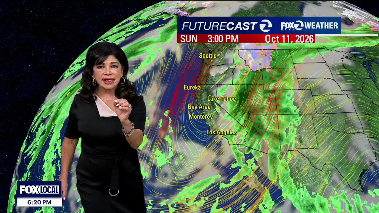
A dry cold front moving across Northern California is bringing a sharp change in conditions across the San Francisco Bay Area, with strong north-west winds, dangerous surf and minor coastal flooding expected through the start of next week.
Winds of 15 to 25mph are forecast widely through Sunday evening, with gusts of 35 to 45mph in exposed mountain gaps, coastal passes and bayshore channels including the San Bruno Gap and Altamont Pass.
The National Weather Service said the front would produce a noticeable cool-down, with temperatures expected to remain below seasonal averages across much of the region. Highs are forecast to range from the mid-50s to low 60s along the Pacific coast, the low to upper 60s around San Francisco and Oakland, and the low to mid-70s inland.
Dangerous surf and sneaker-wave warning
A Beach Hazards Statement remains in effect through Monday evening for the coastal North Bay, the San Francisco Peninsula and areas around Monterey Bay. Breaking waves could reach 16 feet, while long-period swells are increasing the risk of powerful sneaker waves and strong rip currents.
Officials have urged people to stay away from the water, jetties, rocks and other shoreline infrastructure. The National Weather Service warned that waves may surge much farther up the beach than expected and advised the public never to turn its back on the ocean.
The coastal danger is being intensified by two separate swell systems, including long-period energy linked to Tropical Storm Rachel, according to the weather service.
Coastal flooding expected at high tide
A Coastal Flood Advisory is in force until 3pm on Tuesday, October 13, covering low-lying areas around San Francisco, San Pablo and Monterey Bays.
Up to 1.4 feet of inundation above ground level is possible near shorelines and tidal waterways, with flooding expected to affect some trails, docks, pavements, parks, roads and car parks. Isolated road closures are possible.
At the San Francisco tidal gauge, Sunday’s high tide is forecast to reach 1.4 feet above normal at about 12.18pm. Similar high tides are expected on Monday and Tuesday, although the precise timing will vary around the bay and Pacific coast.
Residents and visitors have been advised not to park in low-lying bayshore car parks and not to drive through floodwater or around road closures. The strongest winds are expected to ease after Sunday, although coastal hazards and high-tide flooding will continue into the following week.
