


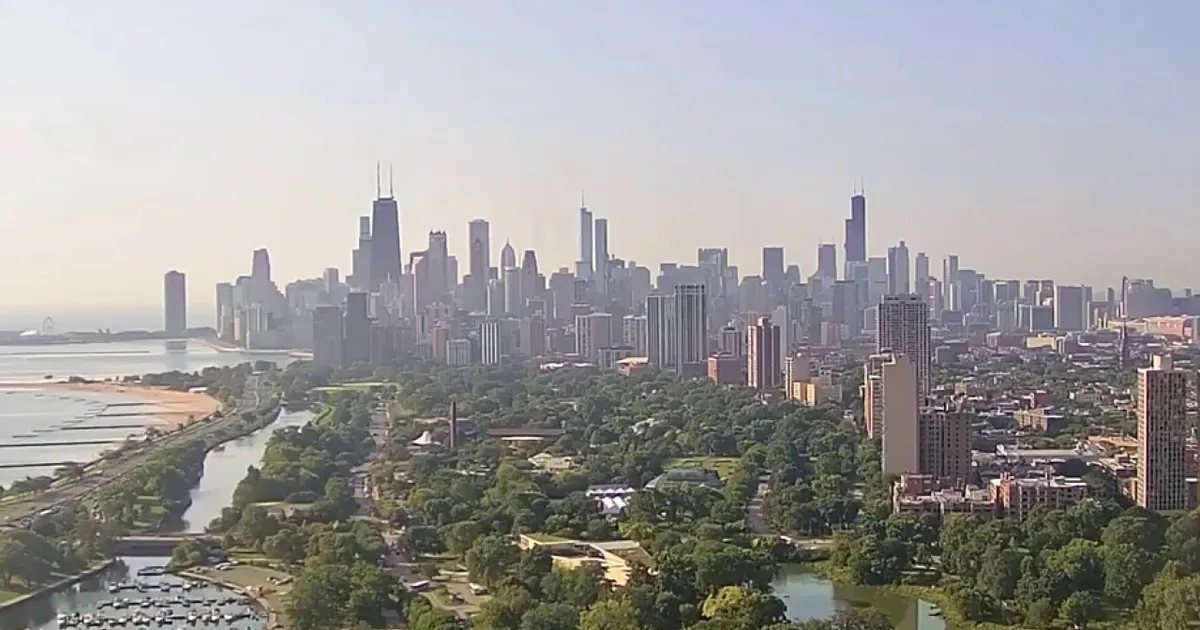
Chicago is set for a fourth consecutive day in the 90s on Friday, September 4, as a heat advisory remains in force across much of the city and surrounding area.
Temperatures are expected to reach the mid-90s, with humidity pushing heat indices above 100F. The National Weather Service has issued the advisory until 10pm local time, warning of oppressive conditions despite the possibility of isolated showers or thunderstorms in northern communities.
Storms moving through eastern Wisconsin could send a brief surge of cooler air into parts of the region, but forecasters expect most of Chicagoland to remain dry. Any rain is likely to be limited, with the south-western edge of the storms potentially clipping areas furthest north.
Thursday’s high reached 91F at Chicago O’Hare, following two previous days in the 90s. The overnight temperature also remained unusually high: a low of 77F on September 3 set a record for the warmest minimum temperature recorded in Chicago on that date.
Conditions will stay humid on Friday night, with partly cloudy skies and lows in the 70s. There is only a small chance of a shower or thunderstorm into the early hours of Saturday.
Chicago weather forecast for Labor Day weekend
A noticeable change is expected on Saturday, when temperatures should ease back into the mid-80s under mostly sunny skies. It will be cooler close to Lake Michigan, where winds from the lake may keep readings lower than elsewhere in the city.
The remainder of the Labor Day weekend, including Sunday, September 6, and Labor Day on Monday, September 7, is forecast to be warmer than normal, with plenty of sunshine and highs in the low to mid-80s.
Temperatures are then expected to climb again during the middle of next week. Wednesday could approach 90F, although there will also be a chance of thunderstorms.
