


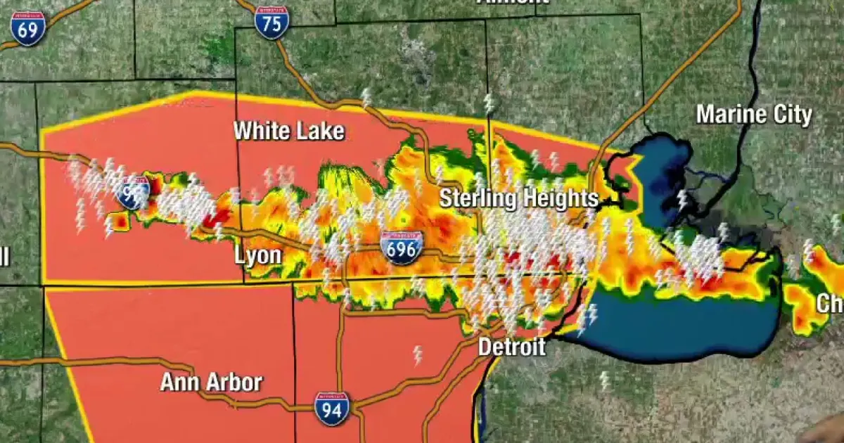
Severe storms swept across Southeast Michigan in two rounds, bringing a tornado warning, damaging weather reports and widespread power cuts across Metro Detroit.
The region had endured temperatures in the 90s and oppressive humidity before thunderstorms began developing in the northern counties during the evening. The National Weather Service issued a tornado warning for north-eastern St Clair County as a storm moved towards the Canadian border.
Officials said the storm was capable of producing a tornado and hail of up to 2in, with radar indicating rotation. Communities including Port Huron, Marysville and St Clair were placed on alert, while residents were advised to seek shelter in a basement or an interior room on the lowest floor of a sturdy building.
Severe storms leave thousands without power
The first system moved into Ontario, giving parts of the region a brief respite before another line of severe thunderstorms arrived later in the night. Warnings were issued across several counties into the early hours of Wednesday.
The National Weather Service warned that the storms could produce damaging winds, large hail and localised flooding. A later warning covering Wayne and Washtenaw counties included the risk of 70mph gusts and hail around the size of a half-dollar coin.
Reports of fallen trees, storm damage and power failures emerged from communities around Metro Detroit as the weather moved through. DTE Energy said about 49,000 customers were without electricity by 12.07am on Wednesday.
Further thunderstorms and heavy rain remained possible in southeast Michigan, with forecasters warning that additional severe weather could affect the area in the following days.
