


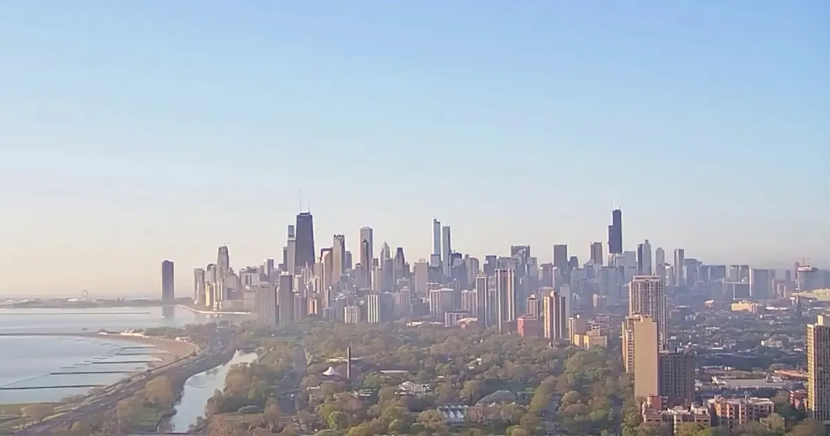
Chicago is expected to challenge its record high on Monday, with temperatures forecast to reach the mid-80s Fahrenheit (around 29C) before a spell of rain and much cooler air arrives later in the week. The record for 12 October is 84F, set in 2008. ([fox32chicago.com](https://www.fox32chicago.com/weather/chicago-weather-record-high-rain-cooler-air-forecast))
The National Weather Service said record warmth was likely across the area, with skies expected to brighten as morning cloud clears. South-westerly winds will strengthen through the afternoon, with gusts reaching around 20 to 25 knots.
Overnight temperatures will remain unusually high, with lows expected to stay close to or above the normal daytime high for this time of year. Tuesday will bring another mostly sunny and warm day, with temperatures reaching the upper 70s to low 80s Fahrenheit.
Rain and cooler air to follow record warmth
Showers and isolated thunderstorms are expected to develop late on Tuesday, continuing into Wednesday morning. Wednesday will be cooler, but temperatures should still remain above seasonal averages, reaching about 70F.
Another band of rain is forecast for Thursday, when highs will remain in the upper 60s. The National Weather Service said much colder air would move in behind the system, with the change becoming most noticeable from Thursday night into Friday.
By Friday, Chicago is expected to see a mixture of sunshine and cloud with temperatures in the low 60s. Saturday should remain bright but cooler, with highs in the mid-50s to low 60s, depending on location.
