


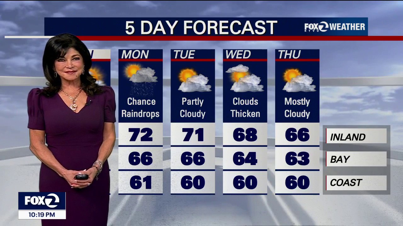
A cooling trend is set to sweep across the San Francisco Bay Area next week, with temperatures expected to dip below seasonal averages and unsettled conditions returning towards the end of the week.
Sunday is forecast to remain broadly pleasant, with highs close to normal under increasing high cloud and filtered sunshine. Temperatures will be slightly lower than on Saturday, while overnight lows are expected to range from about 39F in Santa Rosa to 59F in Fremont.
A passing weather system could bring a small amount of rain to the northern coastal waters and the far northern parts of the North Bay on Monday morning. Forecast rainfall is expected to be limited to a few hundredths of an inch, with most of the region remaining dry.
The National Weather Service said temperatures would fall a few degrees below normal on Monday as a low-pressure trough deepens off the West Coast. A gradual cooling trend is then expected to continue through much of the week, accompanied by breezier onshore winds near the coast.
Coastal flood advisory remains in force
A coastal flood advisory remains in effect through Thursday for parts of the San Francisco Bay shoreline, Monterey Bay, the Big Sur coast and the Pacific coastline. Up to 1.9ft of inundation is possible in vulnerable low-lying areas near shorelines and tidal waterways.
Officials warned that high tides could lead to minor flooding, isolated road closures and coastal erosion. Drivers have been advised not to pass barricades or travel through water of unknown depth, while residents in flood-prone areas should take precautions to protect property.
Cooler and more unsettled weather is expected to return by Friday and continue into next weekend, although forecasters said confidence in the late-week outlook had weakened slightly.
Daylight Saving Time will end in the United States on Sunday, November 1, when clocks go back by one hour.
