


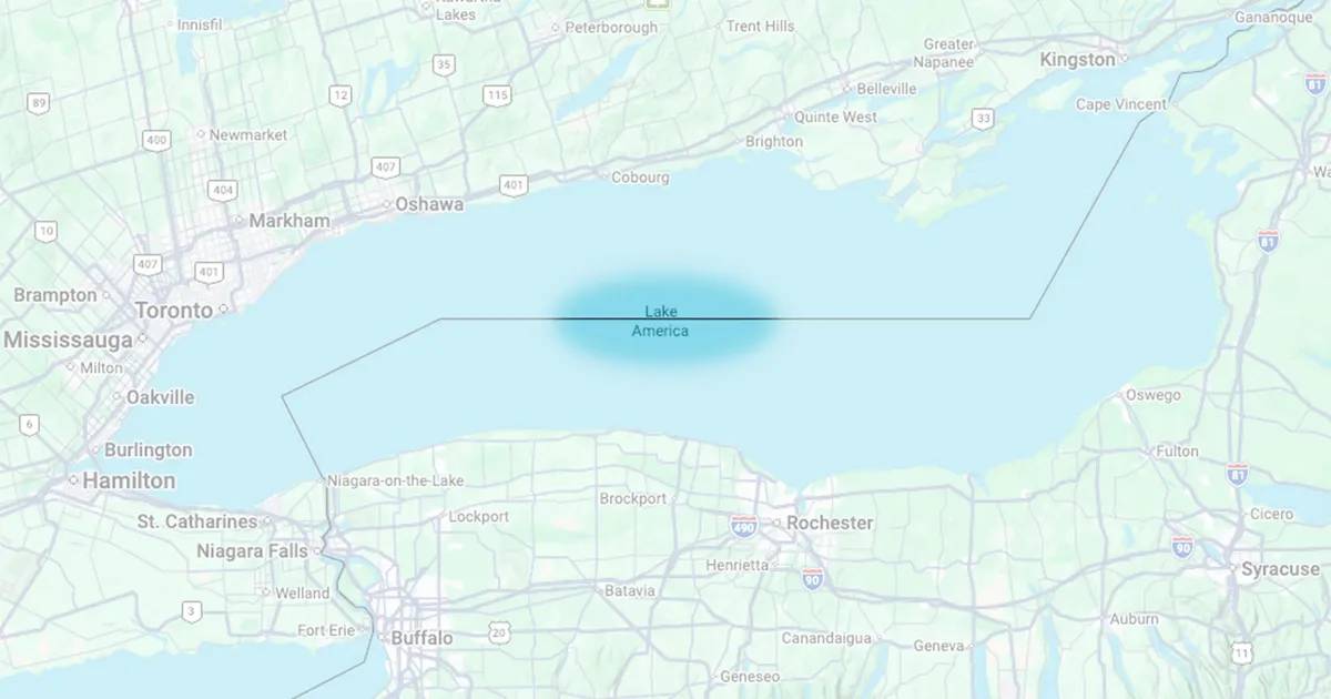
Google Maps has begun showing “Lake America” instead of Lake Ontario to users in the United States, following President Donald Trump’s executive order to rename the Great Lake.
The change is being applied selectively. Users in Canada will continue to see “Lake Ontario”, while people elsewhere will see both names, with “Lake Ontario” displayed first and “Lake America” in brackets.
Google said the update followed its established policy of using official government geographic names. In the US, that authority is the Geographic Names Information System (GNIS), maintained by the US Geological Survey.
The White House order, signed on August 27, directed the Interior Secretary and the US Board on Geographic Names to rename the body of water and update the GNIS. Google said the change was now being rolled out in its mapping service.
Why Google Maps shows different names
The company said it uses a user’s country or region to determine which designation appears. Factors can include the device’s operating system, SIM card, mobile network and regional settings.
On the Google Maps website, users can also alter their region through search settings or by changing the location settings on their device.
The approach mirrors Google’s decision earlier this year to show “Gulf of America” to users in the US after the Trump administration changed the name used in federal records. In Canada, the body of water remains known as the Gulf of Mexico.
Not all digital mapping services have followed Google’s lead. MapQuest said in a Facebook post that it would continue to label the lake “Lake Ontario”, while Apple Maps has also continued to use the traditional name, according to Axios.
Google said the different labels reflected names that vary between countries, rather than an attempt to impose a single designation worldwide.
