


Northern Wisconsin could see its first widespread frost of the season on Monday, 14 September, with overnight temperatures expected to drop into the low and mid-30s Fahrenheit — close to 0C.
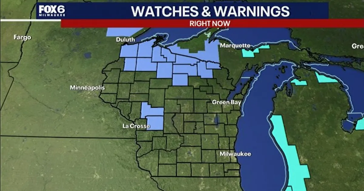
The National Weather Service has issued a Frost Advisory from midnight on Sunday until 8am on Monday across much of north-central and north-western Wisconsin, along with parts of the west of the state.
Ground temperatures could fall to around 32F, allowing frost to form widely. Some of the coldest spots may briefly dip to freezing or just below it.
Frost most likely in northern Wisconsin
The greatest risk is expected along and north of Highway 8, including Eagle River, Rhinelander, Crandon, Superior and Tomahawk.
High pressure moving over Wisconsin is forecast to bring clearer skies and lighter winds on Sunday night. Those conditions will allow temperatures to fall rapidly after sunset, particularly in low-lying and sheltered areas.
Residents with gardens, potted plants or other cold-sensitive vegetation have been advised to bring plants indoors or cover them before temperatures drop.
The chilly start will be short-lived. Rain and thunderstorms are expected to move across Wisconsin later on Monday, with locally heavy rainfall possible overnight into Tuesday.
First frost arrives later in southern Wisconsin
Southern parts of the state do not usually record their first frost or freeze until the middle or latter part of October.
Milwaukee’s earliest recorded low of 32F or colder came on 20 September 1956. The city’s lowest September temperature on record was 28F, recorded on 23 September 1974.
