


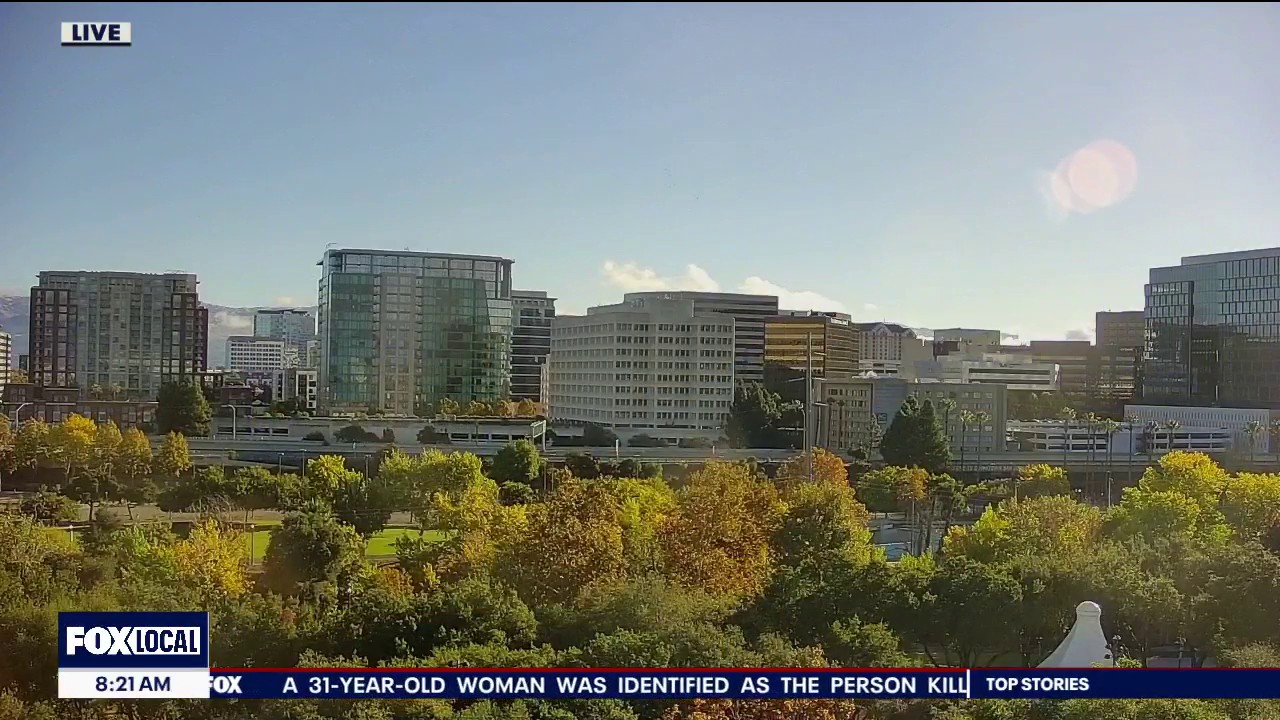
Showers were expected to ease across the San Francisco Bay Area on Sunday, November 1, with brighter spells developing as temperatures climbed from the upper 50s to the upper 60s Fahrenheit.
The National Weather Service said rainfall over the previous 24 hours had generally been light, ranging from a trace to 0.35in. A coastal flood advisory remained in force until 6pm for low-lying areas around San Francisco Bay, San Pablo Bay and Monterey Bay.
Up to 1.5ft of water above ground level was possible near shorelines and tidal waterways, with high tide at the San Francisco gauge forecast to reach 6.8ft at about 3.59pm. Officials warned of possible flooding affecting roads and other low-lying infrastructure, particularly around Marin County. ([forecast.weather.gov](https://forecast.weather.gov/wwamap/wwatxtget.php?cwa=sto&wwa=coastal+flood+advisory&utm_source=openai))
Conditions were expected to turn warmer and drier at the start of the working week, although another weak weather system could bring light rain on Tuesday, November 3, which is Election Day in the United States.
Forecast rainfall from that system was expected to be greatest in the North Bay, where totals could reach between 0.10in and 0.30in. Elsewhere in the Bay Area, amounts were expected to remain below 0.10in, with little or no rain forecast along the Central Coast. ([forecast.weather.gov](https://forecast.weather.gov/product.php?format=txt&issuedby=MTR&product=AFD&site=NWS&version=1&utm_source=openai))
The National Weather Service also issued a beach hazards statement for parts of the coast from late Sunday night through Tuesday evening, warning of stronger rip currents and an increased risk of sneaker waves. People were advised to stay away from jetties, rocks and other exposed waterside areas.
Dry weather was expected to return on Wednesday, with temperatures potentially reaching the 70s by Friday. Some inland areas could approach the low 80s on Saturday.
