


Dense fog across Central Texas is set to give way to a line of showers and thunderstorms as a cold front moves through ahead of Election Day.
Low visibility affected parts of the region on Sunday morning, while warm, humid conditions were expected to push afternoon temperatures in Austin towards 83F (28C).
The National Weather Service issued a dense fog advisory for Milam County until 10am, warning of reduced visibility in areas of East Texas and surrounding parts of the southern United States. The Austin-San Antonio forecast office also reported patchy fog across Central Texas, with conditions expected to improve later in the morning. ([forecast.weather.gov](https://forecast.weather.gov/product.php?format=CI&glossary=1&issuedby=EWX&product=AFD&site=OTX&version=1&utm_source=openai))
Visibility was reported at zero miles in Fredericksburg and one mile in Llano, while readings of three miles were recorded in Cameron and five miles in Austin. Temperatures early on Sunday ranged from the low to mid-60s Fahrenheit, with highs forecast to reach the lower to mid-80s beneath thin cloud.
Cold front expected before Election Day
Another round of fog is possible on Monday morning before the weather turns more unsettled overnight. A cold front is expected to reach areas west of Interstate 35 at about 10pm on Monday, crossing the I-35 corridor at around 4am on Tuesday.
The front will bring a band of rain and thunderstorms eastwards, with the National Weather Service warning that a few storms could become strong to severe. The main threats are localised hail and gusty winds, although the wider severe-weather risk remains marginal. ([forecast.weather.gov](https://forecast.weather.gov/product.php?format=CI&glossary=1&issuedby=EWX&product=AFD&site=OTX&version=1&utm_source=openai))
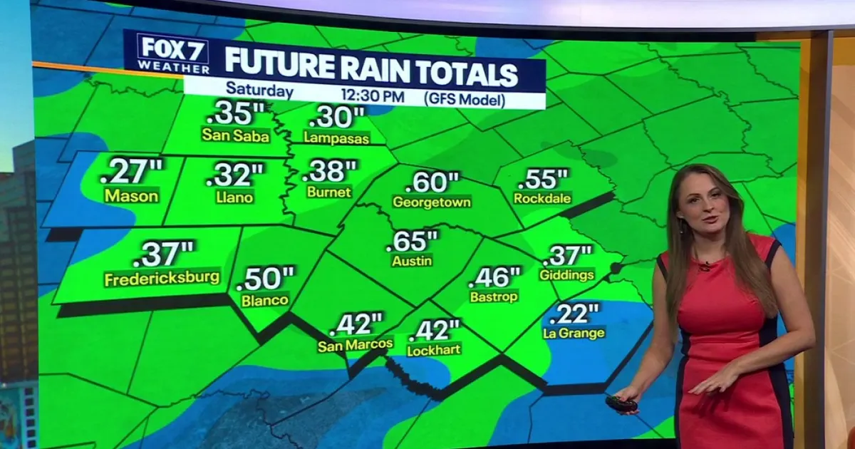
Rainfall in Central Texas is forecast to total between a quarter and three-quarters of an inch. The heaviest weather should clear by about 9am on Tuesday, meaning the system is not expected to cause significant disruption to voting during the day.
Austin’s official forecast gives a 70 per cent chance of showers and possibly a thunderstorm before midday on Tuesday, followed by clearing skies and a high near 80F (27C). Winds are expected to turn north-westerly behind the front. ([forecast.weather.gov](https://forecast.weather.gov/MapClick.php?FcstType=text&lat=30.2802&lg=english&lon=-97.7391&utm_source=openai))
Cooler, drier air will settle across the region from midweek, bringing daytime temperatures down into the 70s and morning lows into the 50s. Another chance of rain is expected to develop ahead of next weekend.
