


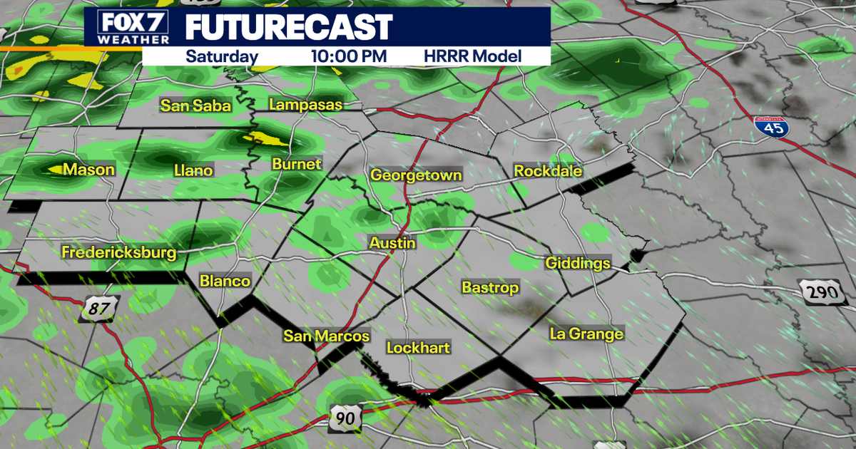
Austin is braced for a cool, cloudy and increasingly wet weekend, with rain expected to spread across Central Texas from Saturday evening and become more persistent on Sunday.
The National Weather Service said the heaviest and most widespread rainfall was likely to develop overnight and continue through Monday, as a low-pressure system moves into Texas and draws moisture into the region.
Rainfall expected to build through Sunday
Saturday should remain mostly dry during the day, although skies will be largely overcast and isolated light showers may develop later. Rain is expected to become more widespread during the evening before intensifying during the first half of Sunday.
Forecasts indicate steady rain lasting for several hours rather than torrential downpours. Between 1 and 3 inches could fall across parts of the area, with the highest totals expected south and west of Austin.
The National Weather Service forecast a 100% chance of rain in Austin on Sunday, followed by further showers on Monday, mainly before midday. Highs are expected to remain around 20C on both days. ([forecast.weather.gov](https://forecast.weather.gov/MapClick.php?FcstType=text&TextType=1&lat=30.2627&lg=english&lon=-97.7569&unit=1&utm_source=openai))
There is a slight to marginal risk of excessive rainfall in parts of the region, including San Antonio and the western Hill Country. Forecasters said isolated flooding could occur where heavier rain falls, particularly in areas that receive repeated downpours.
River flooding and life-threatening flash flooding are not expected, but water may collect on roads and minor street flooding remains possible. Drivers have been warned to allow extra time and take care on wet routes.
Severe weather is not anticipated, with little or no lightning expected. The rain is forecast to ease gradually after Monday, with drier and milder conditions returning during the middle of next week. ([weather.gov](https://www.weather.gov/ewx/html/cli?utm_source=openai))
