


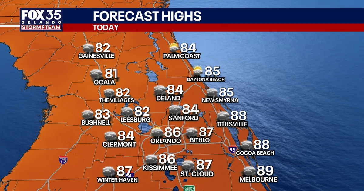
Orlando is set for one final spell of heavy showers and thunderstorms on Sunday before a front brings drier, less humid weather to Central Florida for much of the working week.
Rain chances are expected to reach 50 to 60 per cent, with the most active weather developing during the afternoon. Downpours, frequent lightning and gusty winds are the main hazards, although storms should ease by the evening.
The unsettled conditions are linked to moisture left behind by Post-Tropical Cyclone Isaias, which is weakening as it moves away across the eastern United States.
Temperatures in Orlando will reach the mid to upper 80s Fahrenheit on Sunday, but the air should feel noticeably more comfortable from tonight as humidity falls behind the front.
Highs from Monday to Wednesday are forecast to remain around the mid-80s, close to seasonal levels. Overnight temperatures will dip into the upper 60s and low 70s, offering a break from the oppressive heat-index readings seen in recent days.
Rain chances are expected to collapse to between 0 and 10 per cent from Monday through Thursday as high pressure settles over the region, bringing several days of brighter and drier weather.
Along Florida’s east coast, rough surf and an elevated rip-current risk will continue through Sunday before beach conditions gradually improve.
The National Hurricane Center is also monitoring a tropical wave moving westwards across the eastern Atlantic after emerging from the west coast of Africa. It has a low chance of developing over the next two to seven days and is not considered an immediate threat to Florida or the US mainland.
