


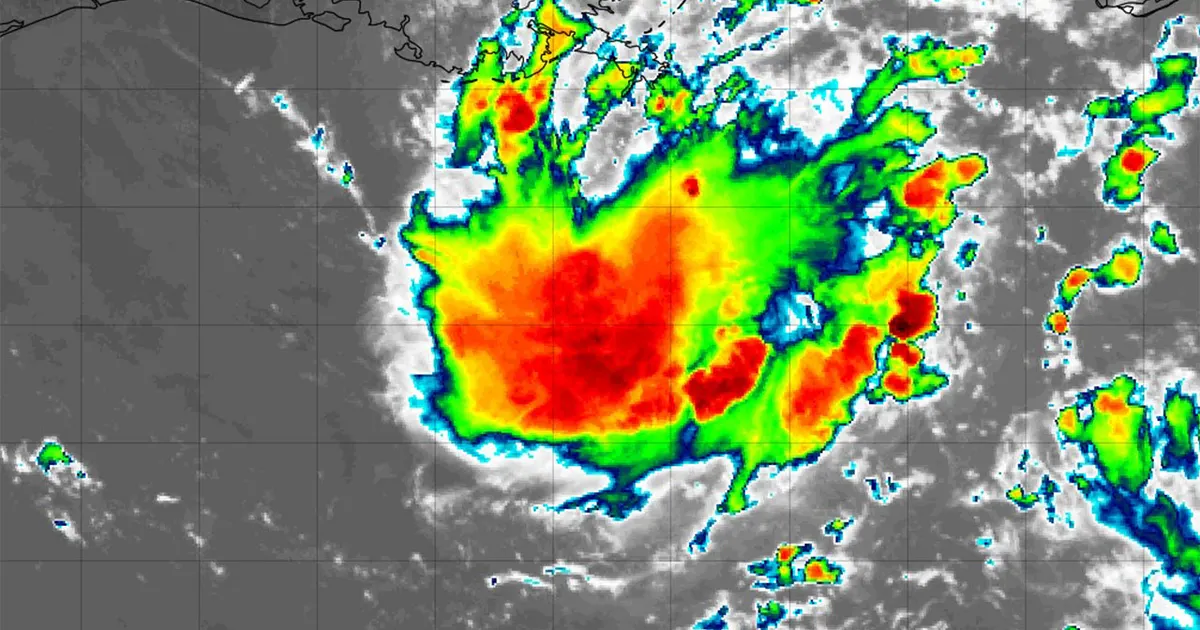
Two tropical disturbances are being monitored in the Atlantic basin, including Invest 97L in the Gulf of America, with forecasters warning that heavy rain could reach the Houston area this week.
The National Hurricane Center said on Sunday, August 30, that the low-pressure system was about 125 miles south of south-eastern Louisiana and drifting west to west-north-west across the northern Gulf. It gave the disturbance a 30% chance of developing into a tropical depression or storm over both the next 48 hours and the coming seven days. ([nhc.noaa.gov](https://www.nhc.noaa.gov/mobile/text/refresh/MIATWOAT%2Bhtml/301136_MIATWOAT.html?utm_source=openai))
Interests along the Louisiana and upper Texas coasts have been advised to monitor its progress. Even if the system does not strengthen, it could bring a spell of heavy rain and thunderstorms as it moves inland, with Houston expected to see wetter conditions by Tuesday and Wednesday.
The designation “invest” means the National Hurricane Center is carrying out additional monitoring of an area of weather that could develop into a tropical system. It does not mean that a tropical depression or named storm has formed.
A second area of concern is the remnants of Tropical Storm Dolly, which are producing showers and thunderstorms across the northern Leeward Islands, the Virgin Islands and Puerto Rico.
The National Hurricane Center said there were currently no signs of a closed surface circulation and that redevelopment was unlikely over the next day or two. The system has a near-zero chance of developing during the next 48 hours, although that rises to 20% over seven days as it moves towards the south-eastern Gulf of America by the middle of the week. ([nhc.noaa.gov](https://www.nhc.noaa.gov/mobile/text/refresh/MIATWOAT%2Bhtml/301136_MIATWOAT.html?utm_source=openai))
The remnants are expected to bring locally heavy rain and gusty winds to parts of the north-eastern Caribbean before moving towards Hispaniola and the south-eastern Bahamas. The Florida Peninsula could also see periods of heavy rain if the disturbance becomes better organised.
Atlantic hurricane activity expected to increase
The developments come as the Atlantic approaches its climatological peak for hurricane activity. The busiest part of the season is typically between August and October, with September 10 regarded as the statistical peak.
If either system strengthens into a tropical storm, the next names on the 2026 list would be Edouard and Fay.
Residents in areas that could be affected are being urged to review their hurricane plans and check that they have enough essential supplies to remain self-sufficient for at least three days.
